Backroads Around Las Vegas, Desert National Wildlife Refuge
previous section
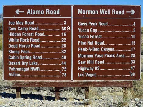 Sign at south end of Mormon Well Road near Corn Creek |
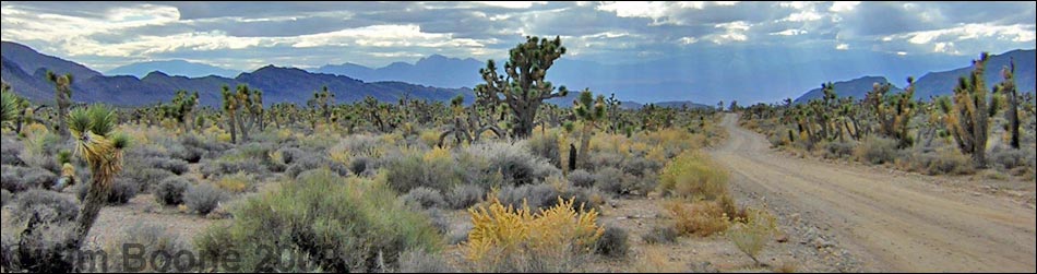
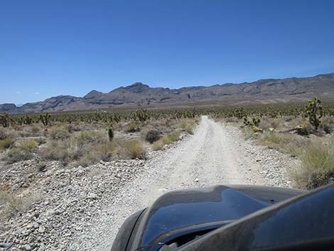
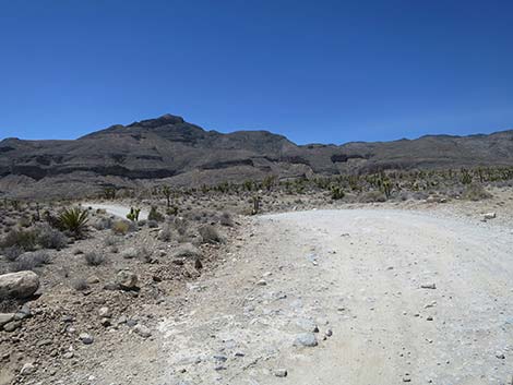
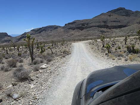
Overview The Mormon Well Road is a long, rough, dirt road that runs across the Desert National Wildlife Refuge from Corn Creek to Highway 93. The road runs across the desert and over the mountains through spectacular country, including towering limestone cliffs; broad, flat valleys; and narrow, winding canyons. The road runs through several desert vegetation life zones, starting in the very dry (stunted) Mojave Desert Scrub Zone and climbing to the Yellow Pine (Ponderosa Pine) Zone. The variety of life zones provides different habitats for birds and other wildlife. Details of the road southbound (including GPS coordinates and maps) are presented on the Mormon Well Road Southbound webpage. Photos here show scenery and road conditions from Pine Nut Road to Yucca Gap. For northbound information, see Mormon Well Road Northbound. |
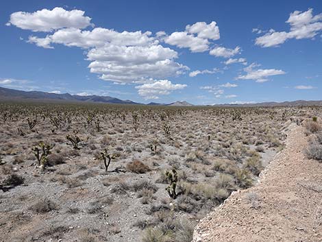
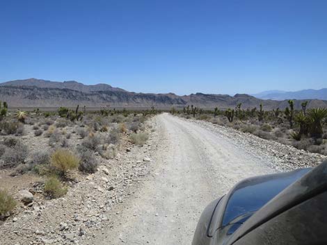
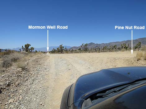 Mormon Well Road at Pine Nut Road (view W) |
 Pine Nut Road (view N from Mormon Well Road) |
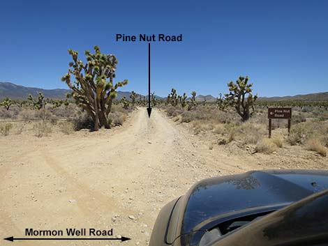
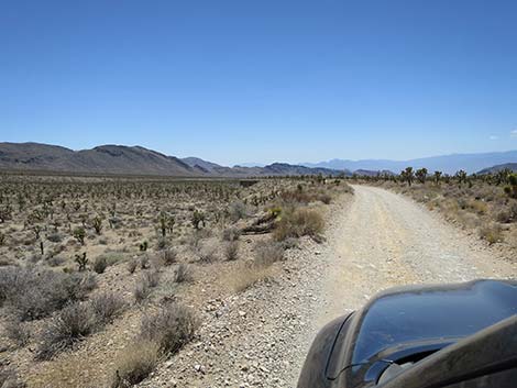
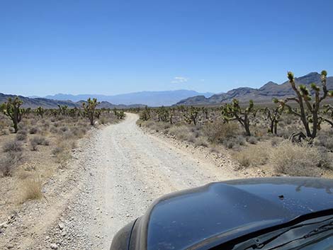
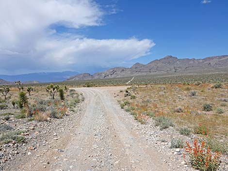
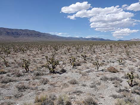
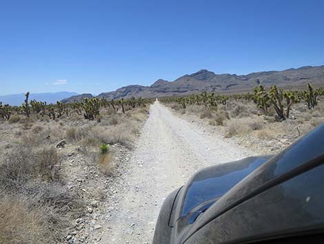
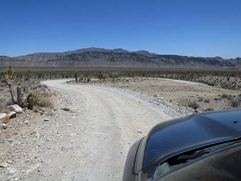
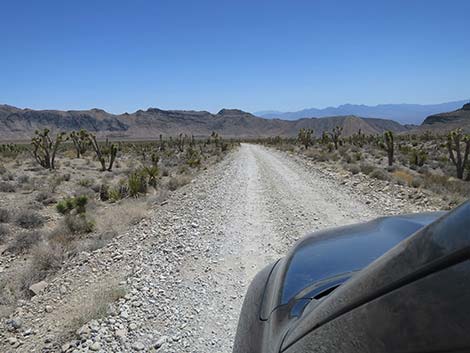
 Mormon Well Road continuing past Pine Nut Road (view W) |
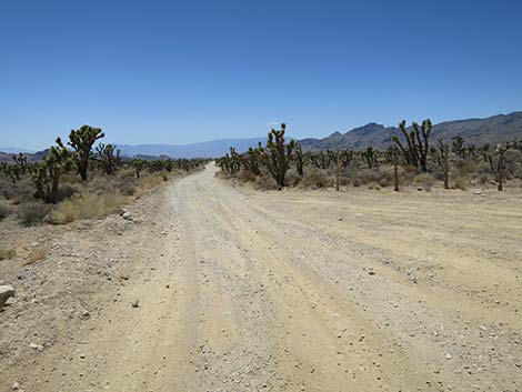
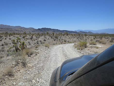
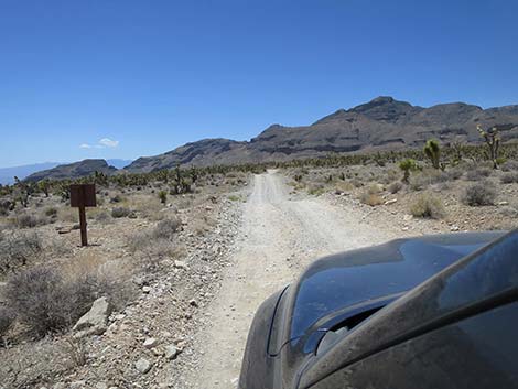
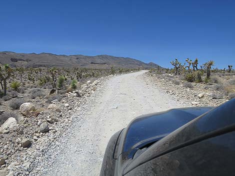
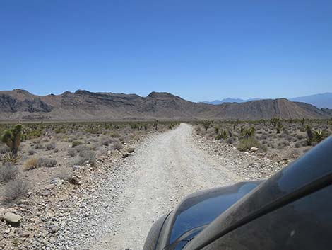
 In places, Mormon Well Road runs on low ridges (view SW) |
 |
 |
 |
 |
 Visitors pounded a new campsite into the landscape (view W) |
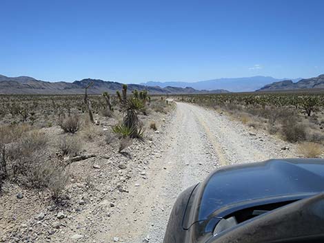
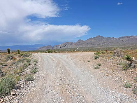
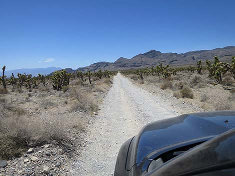
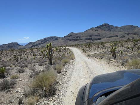
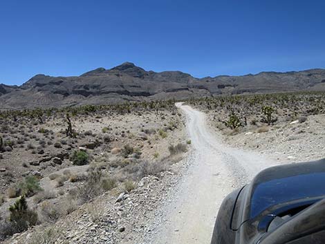
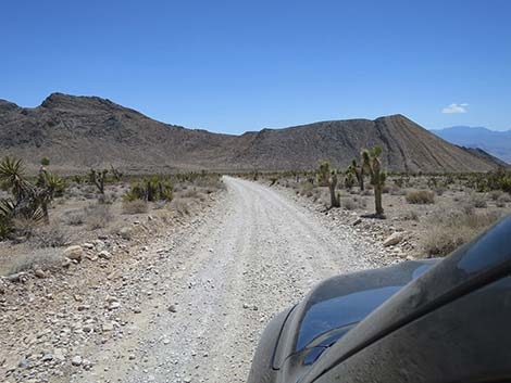
 Mormon Well Road continuing across Yucca Forest Valley (view W) |
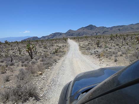
 Mormon Well Road approaching an overlook campsite (view W) |
 Mormon Well Road at Yucca Forest overlook campsite (view W) |
 Yucca Forest Overlook primitive campsite (view W) |
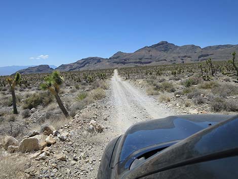
 Continuing past Yucca Forest Overlook campsite (view W) |
 Overlook (view N from Yucca Forest Overlook) |
 Overlook (view NNW from Yucca Forest Overlook) |
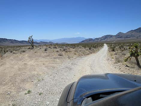
 Mormon Well Road suddenly drops into a curving gully (view SW) |
 Mormon Well Road continuing across Yucca Forest Valley (view W) |
 |
 |
 |
 |
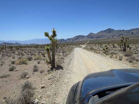
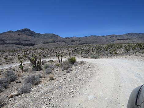
 Mormon Well Road approaching Yucca Forest sign (view W) |
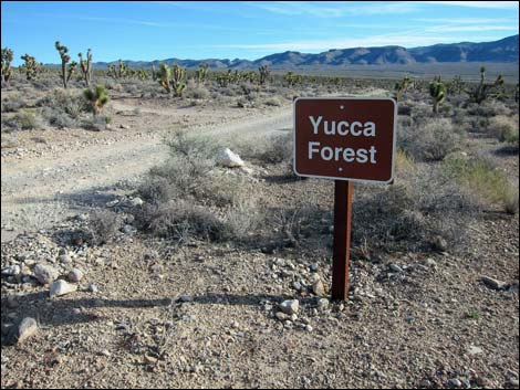 Looking back: Yucca Forest sign (view NE) |
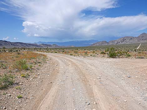
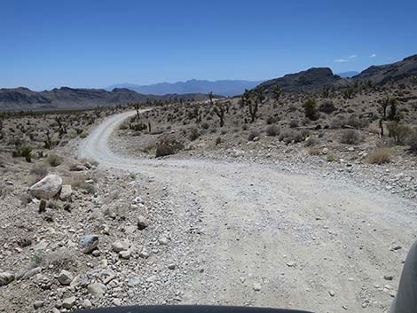
 Mormon Well Road approaching the S-curves (view W) |
 Mormon Well Road in the S-curves (view S) |
 Mormon Well Road in the S-curves (view S) |
 Mormon Well Road in the S-curves (view N) |
 Mormon Well Road in the S-curves (view N) |
 Mormon Well Road in the S-curves (view S) |
 Mormon Well Road in the S-curves (view N) |
 Mormon Well Road exiting the S-curves (view NW) |
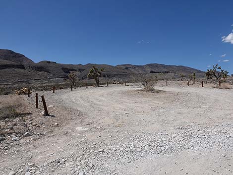
 Mormon Well Road approaching Long Canyon Trailhead (view W) |
 Mormon Well Road at Long Canyon Trailhead (view W) |
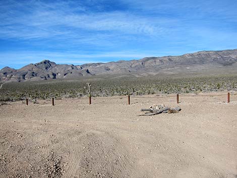
 Long Canyon Trailhead (view N from Mormon Well Road) |
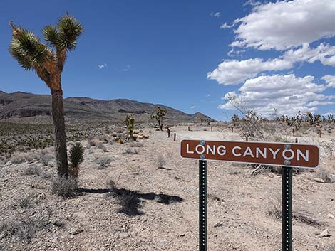 Looking back: Long Canyon sign (view N) |
 Mormon Well Road turn south past Long Canyon Trailhead (view S) |
 Mormon Well Road dipping to cross a major wash (view SW) |
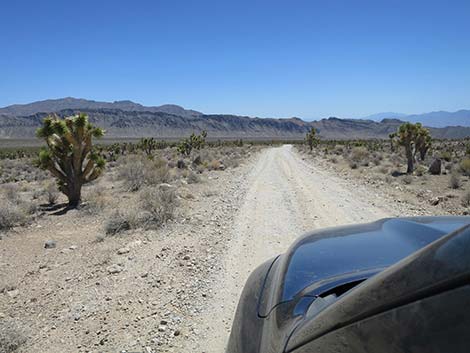
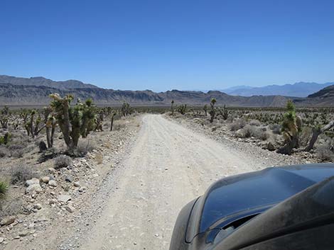
 Mormon Well Road runs south for a long way (view S) |
 Mormon Well Road runs south for a long way (view S) |
 Mormon Well Road runs south for a long way (view S) |
 Mormon Well Road runs south for a long way (view S) |
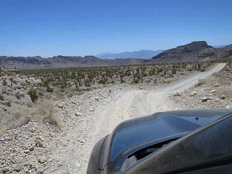
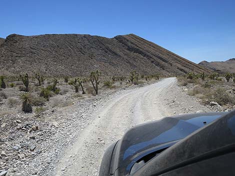 Mormon Well Road begins to curve right into Yucca Gap (view SW) |
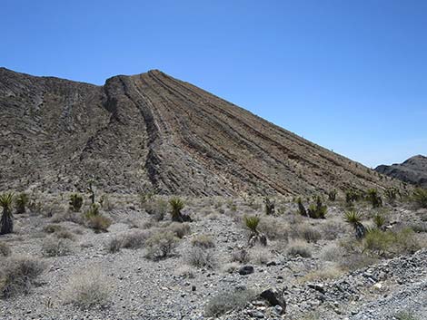 Layer-cake peak on Fossil Ridge (view SW) |
Happy Hiking! All distances, elevations, and other facts are approximate.
![]() ; Last updated 240324
; Last updated 240324
| Mormon Well Road | Backroads | Hiking Around Las Vegas | Glossary | Copyright, Conditions, Disclaimer | Home |