Cedar Canyon Road east to Caruthers Canyon Road
Hiking Around Las Vegas, Mojave National Preserve
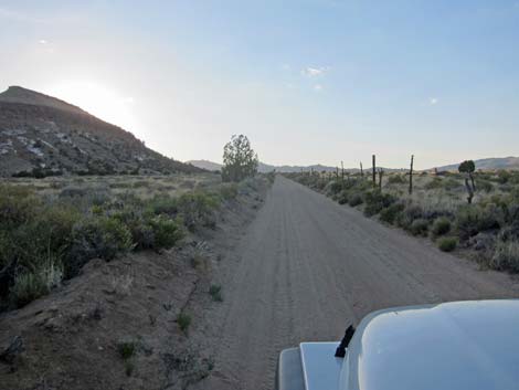
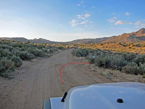
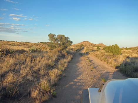
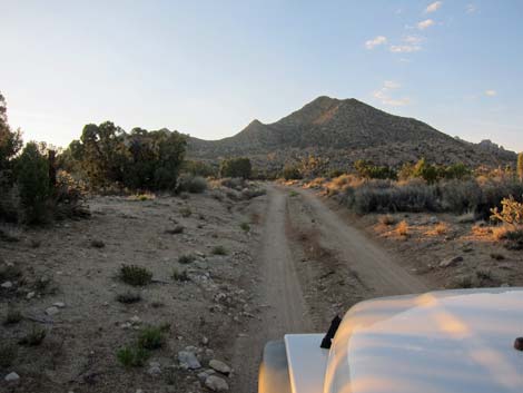
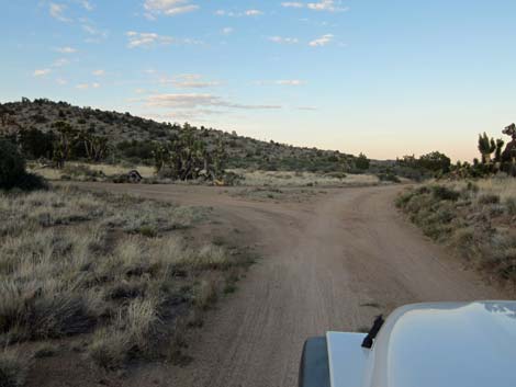
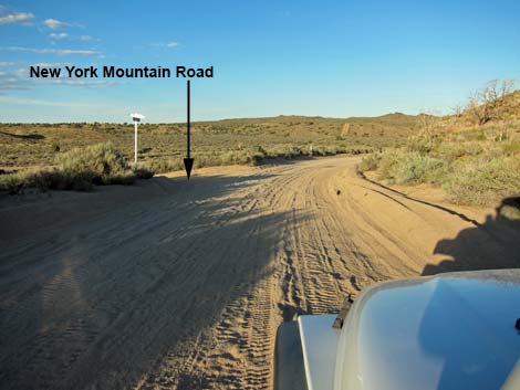 Cedar Canyon Rd at New York Mtn Road (view E) |
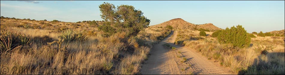
Overview New York Mountain Road is a graded dirt road in California that connects Ivanpah Road with Cedar Canyon Road in the Mojave National Preserve. The road can be a bit sandy and washed out. This road provides access to north-central portions of the Mojave National Preserve, and in particular it is used for access to the Caruthers Canyon recreational sites in the New York Mountains. Link to map. |
 |
Watch Out Other than the standard warnings about the desert, ... the east half of this road is safe and should be passable out to Caruthers Canyon Road in a sedan, but it is not as well maintained as the main dirt roads in the area (e.g., Ivanpah Road and Cedar Canyon Road). The west half of the road is not suitable for sedans, but there are no unusual hazards, and under normal conditions, it should be passable in a 2WD-HC vehicle. While out in the desert, please respect the land and the other people out there, and try to Leave No Trace of your passage. Also, the area is remote, so be sure to bring the 10 Essentials. |
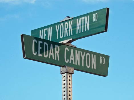 |
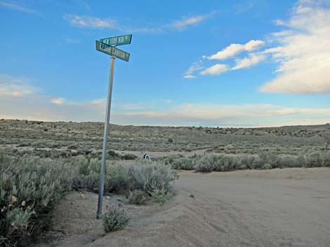
Getting to the Road This road is located in California, about 2 hours south of Las Vegas. From town, drive out to Mojave National Preserve and Cedar Canyon Road. From the paved Kelso-Cima road, drive east on Cedar Canyon Road for 11.2 miles to a T-intersection with New York Mountain Road (Table 1, Site 1450), on the left. This point can also be reached by driving south into the preserve on Ivanpah Road to Cedar Canyon Road, then driving west on Cedar Canyon Road to New York Mountain Road. |
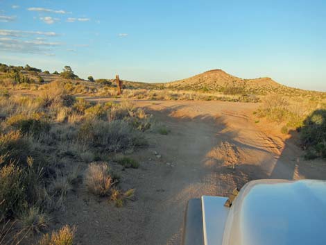
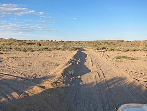 Broad, sandy wash (view NE) |
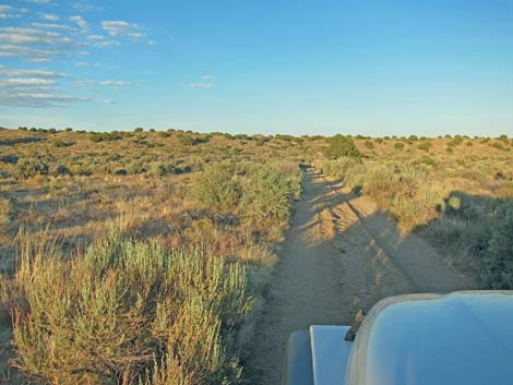
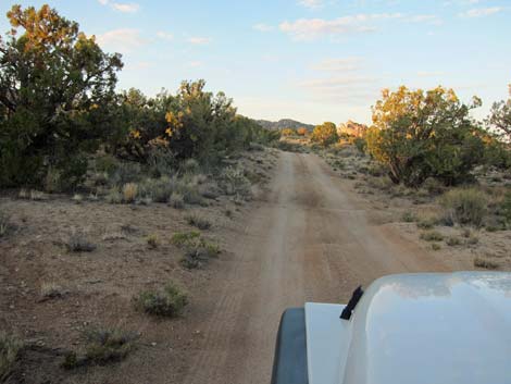
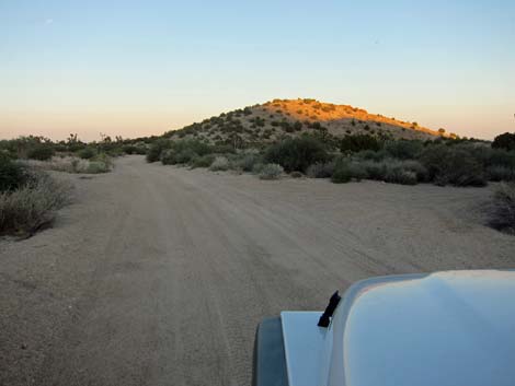
The Road Overall, from Cedar Canyon Road (Site 1450), New York Mountain Road runs north, then east 12.5 miles to a T-intersection with Ivanpah Road, but there are many details and a few bumps along the way. Departing Cedar Canyon Road, New York Mountain Road runs northeast to cross a broad, sandy wash that can be a bit washed out. Climbing out the other side of the wash, the road-base firms and remains firm with few concerns for several miles. The road climbs the slopes generally heading north, then bends a bit to the left to touch the east base of Pinto Mountain, and at about 2.5 miles out, passes a T-intersection to the left. |
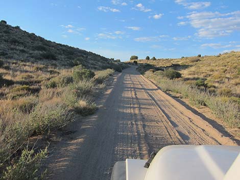 |
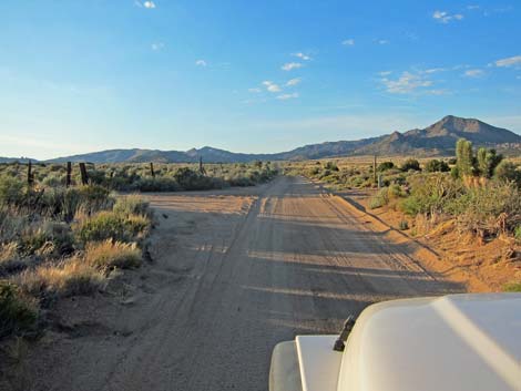
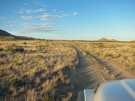
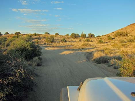
Following the fence line, the road continues north to a fork 3.5 miles out. Turning away from the fence, the road bends right and descends off the hill into the wash below, still heading north. In the bottom of the wash, only 0.1 miles beyond the fork, a T-intersection (Site 1479) appears out of the thick brush on the right. Turning right, New York Mountain Road runs east, then northeast to pass Martin Pond, which can be dry. A short distance farther, at about 4.3 miles out, New York Mountain Road merges with a road that comes in from the left (Site 1480). Together, the two roads run east. New York Mountain Road runs east, passing a faint 4-way intersection (4.8 miles out) to wind through low hills and bend to the north (5.2 miles out) at another faint side road. |
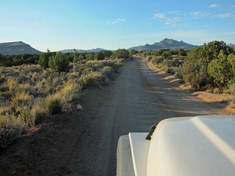 |
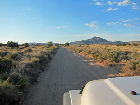
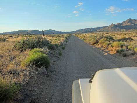
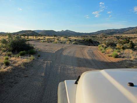
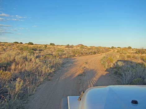
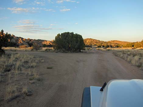
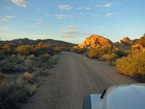
New York Mountain Road runs north for another half-mile, then bends east and passes another 4-way intersection with a faint road (5.6 miles out). This road and the next few lead to campsites among rock piles on both sides of the road. Although there are several faint side roads, the main road always is obvious. After winding through the rocky outcrops, New York Mountain Road runs out into open desert heading east and arrives at 4-way intersection with a major road, which is Caruthers Canyon Road (Site 1260; 6.8 miles out). At this point, drivers can turn left and head north into Caruthers Canyon, turn south and return to Cedar Canyon Road, or continue straight on New York Mountain Road another 5.7 miles to Ivanpah Road. |
 New York Mountain Road |
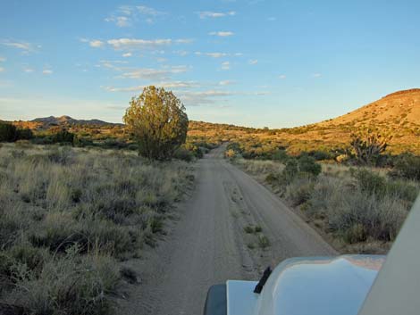
 Base of Pinto Mountain, on the left (view NW) |
 Road passes a T-intersection on the left (view W) |
 Road continues north ... |
 ... to a fork in the road |
 Road turns right (view N) |
 |
 |
 Road merges with another road (view E) |
 New York Mountain Road |
 Road merges with another road (view E) |
 New York Mountain Road |
 |
 |
 |
 |
 |
 |
 Faint side roads |
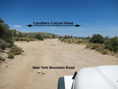 New York Mountain Road at Caruthers Canyon Road (view E) |
Table 1. Highway Coordinates Based on GPS Data (NAD27; UTM Zone 11S). Download Highway GPS Waypoints (*.gpx) file.
| Site | Location | UTM Easting | UTM Northing | Latitude (N) | Longitude (W) | Elevation (ft) | Verified |
|---|---|---|---|---|---|---|---|
| 1450 | Cedar Cyn Rd at NY Mts Rd | 651960 | 3891546 | 35.15714 | 115.33163 | 4,811 | GPS |
| 1479 | NY Mtn Road at Turn | 650971 | 3896836 | 35.20497 | 115.34152 | 5,206 | GPS |
| 1480 | NY Mtn Rd at Fork | 651924 | 3897214 | 35.20824 | 115.33099 | 5,290 | GPS |
| 1260 | NY Mts Rd at Caruthers Rd | 655000 | 3898274 | 35.21732 | 115.29701 | 5,397 | Yes |
Happy Hiking! All distances, elevations, and other facts are approximate.
![]() ; Last updated 210803
; Last updated 210803
| Backroads | Hiking Around Mojave Preserve | Hiking Around Las Vegas | Glossary | Copyright, Conditions, Disclaimer | Home |