Hiking Around Las Vegas, Other Areas
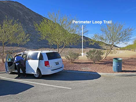
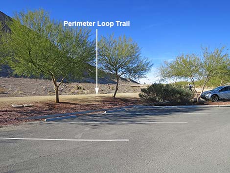
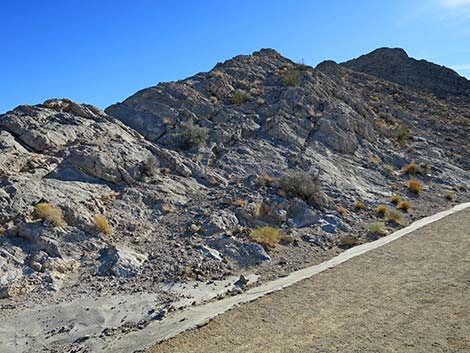
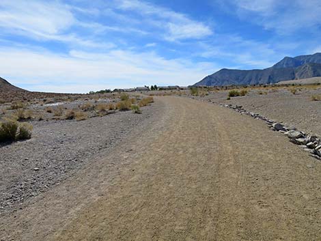
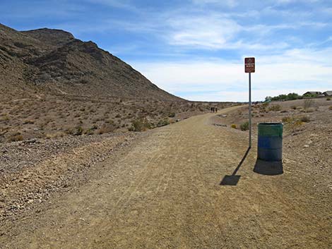
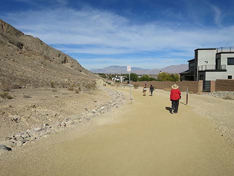
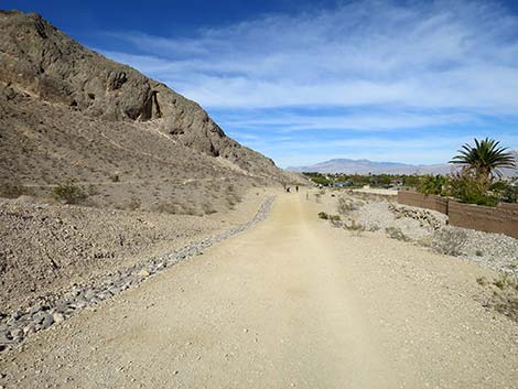
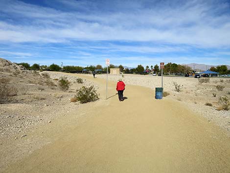
 Entering the trailhead parking area (view N) |
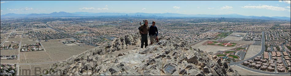
Overview Lone Mountain is a steep, isolated, rocky butte in northwest Las Vegas just inside the Interstate-215 Beltway. The summit stands some 600 feet above the surrounding homes, giving great views of the city and the surrounding mountains. There are several steep routes up Lone Mountain, but sometimes we don't need a heavy workout. The Perimeter Loop Trail provides a nice, not-quite-flat hike that circumnavigates the peak. Hikers can start at either trailhead and walk in either direction, as it is a loop, but as described here, the route starts at the Lone Mountain Park trailhead on the east side of the mountain. The trail heads out to the north edge of Lone Mountain, then loops down around the east side (passing the Vegas Vista Trail Trailhead), wraps around the south tip of Lone Mountain along West Alexander Road, and loops back up along the southwest edge of the mountain to return to the trailhead. Lone Mountain is good place for a quick get-away or after-work hike; and as one guy on the trail said, it beats an afternoon workout on a treadmill. |
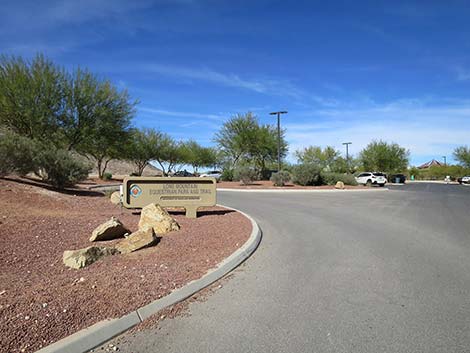
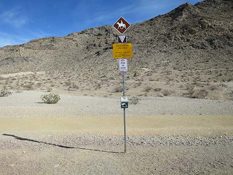
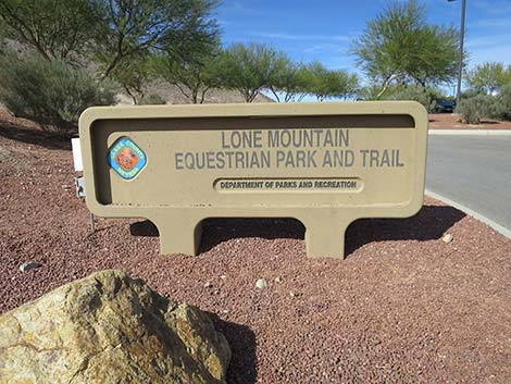 Sign: Lone Mountain Equestrian Park and Trail |
Link to trail map. Watch Out Other than the standard warnings about hiking in the desert, ...this hike is about as safe as it gets, but don't get complacent. While hiking, please respect the land and the other people out there, and try to Leave No Trace of your passage. Although this hike is short, be sure to bring what you need of the 10 Essentials. |
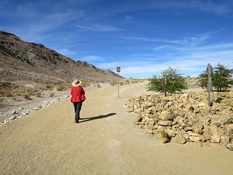
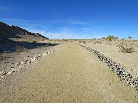
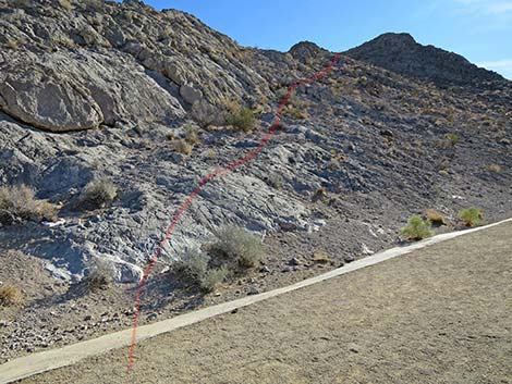
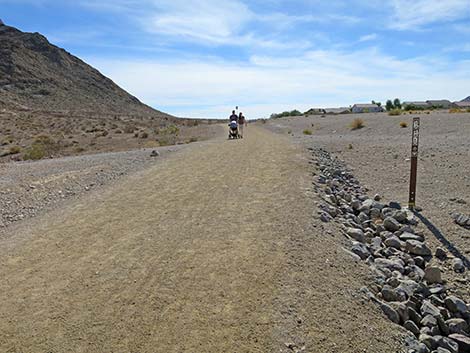
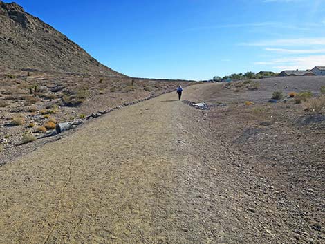
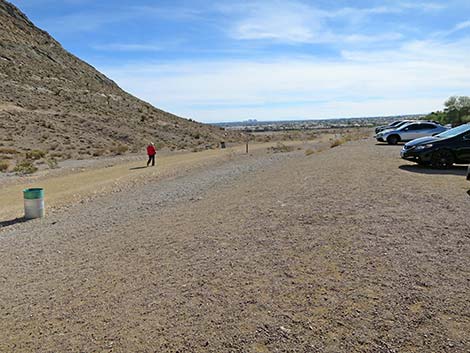
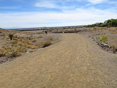
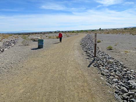
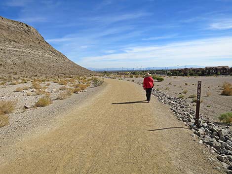
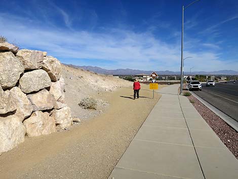
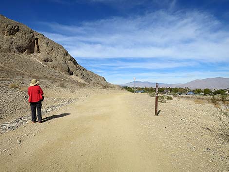
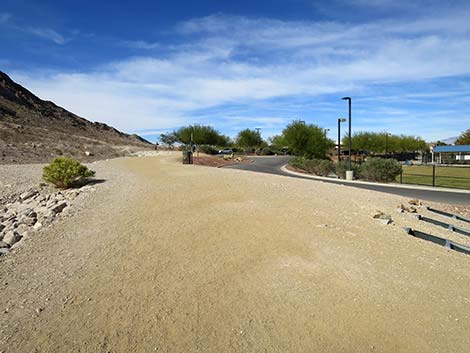
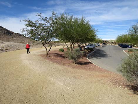
 The Perimeter Loop Trail runs adjacent to the parking lot (view NW) |
Getting to the Trailhead Lone Mountain is located in the northwest part of urban Las Vegas, just inside the Western Beltway (Highway I-215) between Lone Mountain and Alexander roads. From town, drive north on Highway 95 or Highway 215 to the northwest part of town. Continue to the Lone Mountain Discovery Park Trailhead, which is located on the east side of the mountain, or to the Vegas Vista Trail Trailhead on the west side of the mountain. |
 The Perimeter Loop Trail runs adjacent to the parking lot (view NW) |
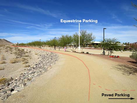
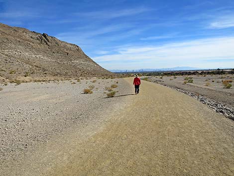
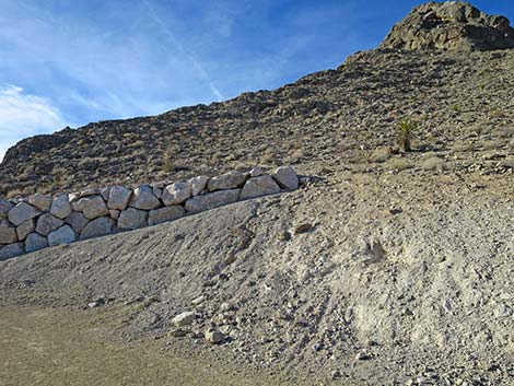
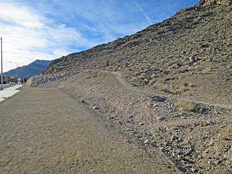
The Hike From the Lone Mountain Discovery Park Trailhead paved parking lot (Wpt. 60), hikers walk west onto the Perimeter Route, which runs along the edge of the parking lot. The trail runs northwest on the desert flats along the east side of Lone Mountain. Starting out, hikers depart the paved parking lot, pass the gravel equestrian parking lot and arena, and then encounter the official start of the trail (Wpt. 61). At the north end of Lone Mountain, the route turns southwest and wraps around the toe of the North Ridge (Wpt. 62). In a few steps, the Perimeter Route passes the use-trail that climbs the North Ridge, but the Perimeter Route stays on the desert flats (here between the mountain and the I-215 fence. In about 250 yards, the Perimeter Trail passes a fork to the left where a trail stays close to the base of the mountain. This trail eventually returns to the Perimeter Trail. In contrast, the Perimeter Trail stays farther out from the base of the mountain on more gentle terrain. |
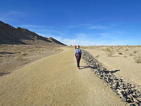
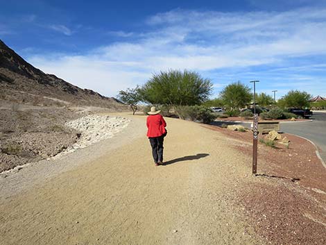
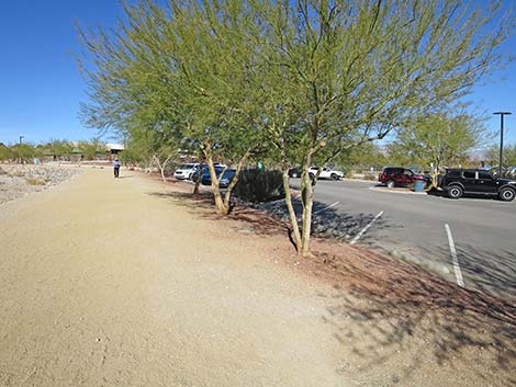
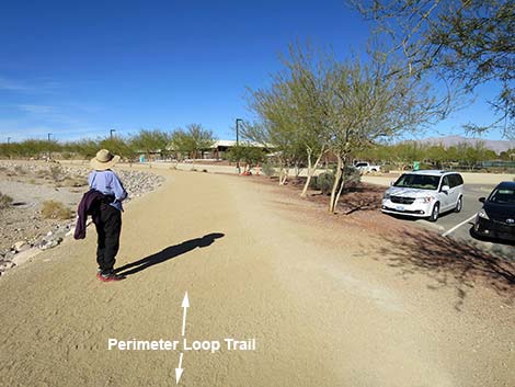 Hiker on Perimeter Trail adjacent to the parking lot (view NW) |
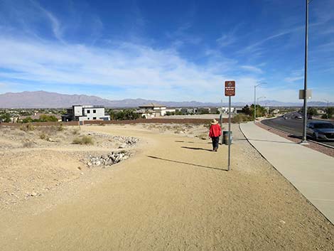
Staying on the Perimeter Trail, the route curves gently left and eventually loops around to the south and arrives at the Vegas Vista Trailhead (Wpt. 01). The Perimeter Trail continues south and then southeast, eventually wrapping around the south end of Lone Mountain (Wpt. 30). Hikers can even use the sidewalk along West Alexander along here. Past the toe of the mountain, the Perimeter Trail curves left staying between the mountain and the block wall of a residential neighborhood (Wpt. 64). Signs announce that hikers are entering a "quiet zone," where apparently the sound of hikers walking and talking on gravel causes too much noise for an expensive neighborhood -- whatever. Continuing north, hikers eventually exit the "quiet zone" and approach the Lone Mountain Park. The trail stays left and returns hikers to the paved general parking area (Wpt. 60), thus closing the loop. |
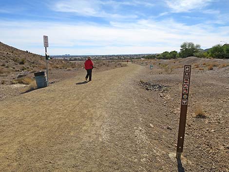
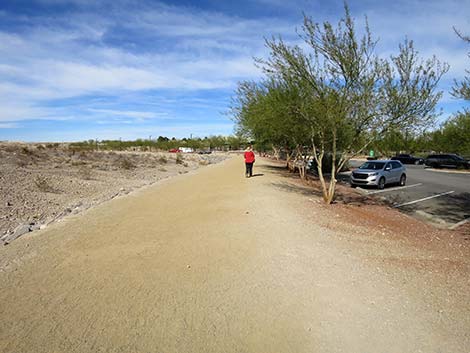
 Starting on trail from the paved parking area (view N) |
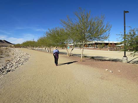 Hiker on trail passing the dirt, equestrian parking area (view NW) |
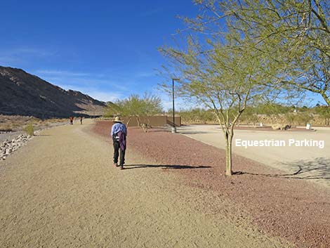 Hiker on trail passing the dirt, equestrian parking area (view NW) |
 Approaching the start of the official trail (view NW) |
 Hiker at official starting point on the Perimeter Trail (view NW) |
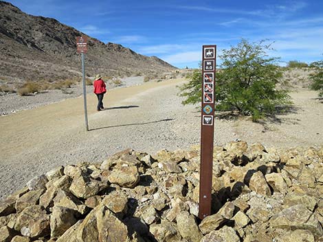
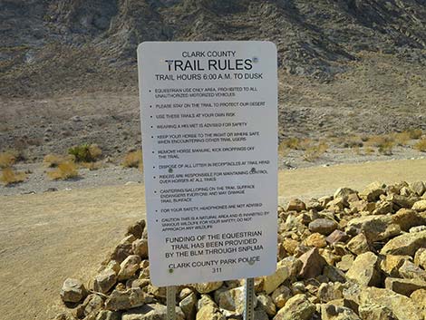 Sign: trail rules (view SW) |
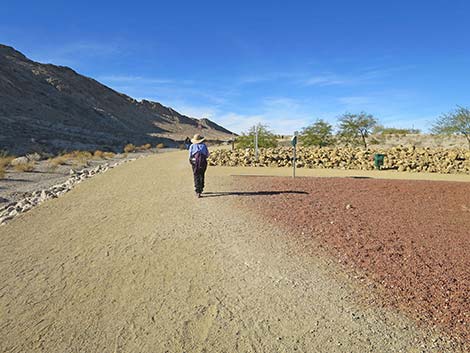
 Hiker at official starting point on the trail (view NW) |
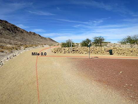
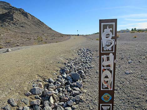
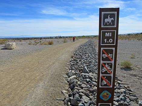
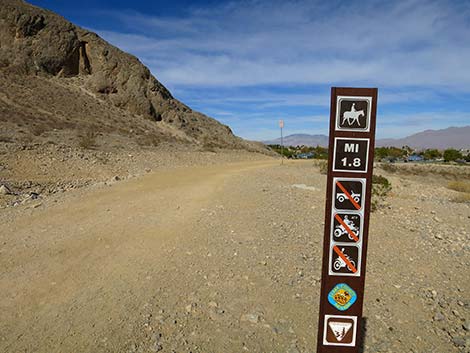
 Trail marker at official start (note mile marker) |
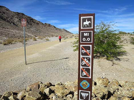 Trail marker at official start (note mileage = 0.0 miles) |
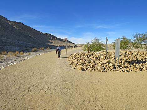 Hiker passing the official starting point on the trail (view NW) |
 |
 |
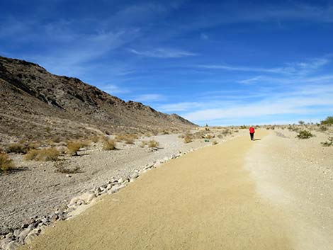 Hiker on trail (view NW) |
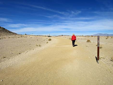 Hiker passing trail marker (view NW) |
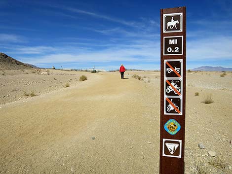 Trail marker (mileage = 0.2 miles) |
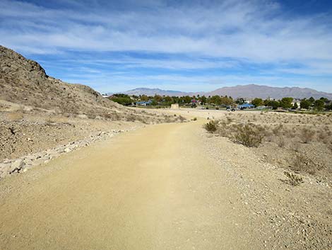
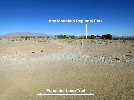 Side trail to Lone Mountain Regional Park (view NE) |
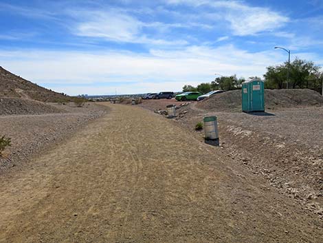
 First of several trash cans along the trail (view N) |
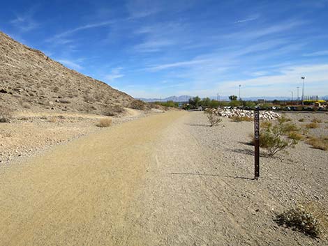
 The trail stays left of a gravel pit (view N) |
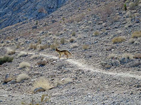 Oh look! -- a coyote on a side trail (view SW) |
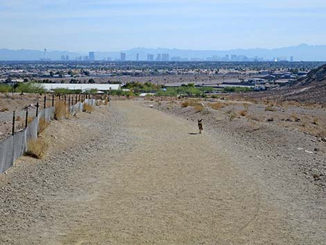 Coyotes like the trail too (view SE towards downtown Las Vegas) |
 Lone Mountain perimeter Trail approaching the first turn (view N) |
 Hiker turning the first curve (view W) |
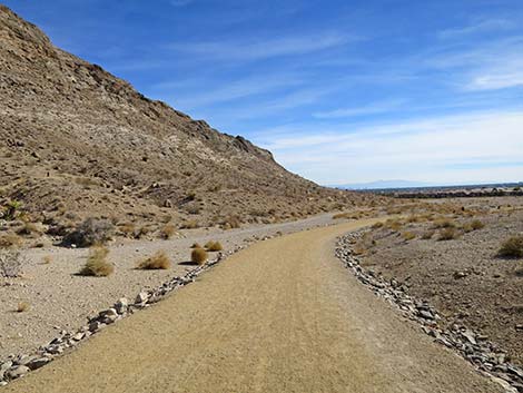
 Looking up the North Ridge (view SW) |
 Start of the North Ridge route (view SW) |
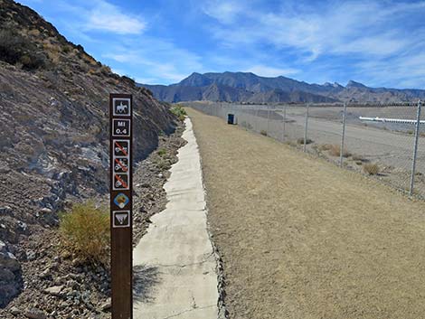 Trail marker (mileage = 0.4 miles) |
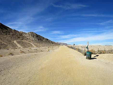
 The trail parallels Highway 215 (view SW) |
 The trail begins to bend left again (view SW) |
 Trail marker (mileage = 0.6 miles) |
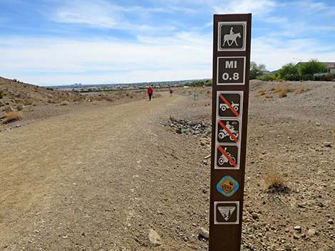
 Trail marker (mileage = 0.8 miles) |
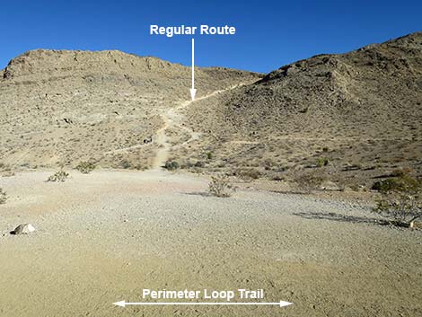 Start of the West Face (Regular) route up Lone Mountain (view E) |
 Passing another trash can -- use it if necessary |
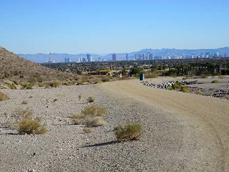
 Hiker approaching the highest point on the Perimeter Trail (view S) |
 Approaching the Vegas Vista Trailhead (view S) |
 Vegas Vista Trailhead (view SW from the trail) |
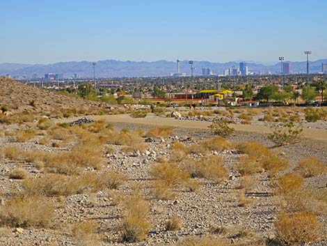
 Lone Mountain Perimeter Trail (view E from Vegas Vista Trailhead) |
 Lone Mountain Perimeter Trail (view SE from Vegas Vista Trailhead) |
 Hiker passing more signs and trash cans (view SE) |
 Trail marker (mileage = 0.8 miles) |
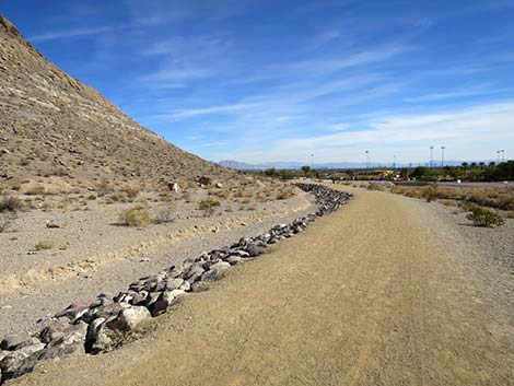
 The trail winds down gentle slopes (view S) |
 The trail winds down gentle slopes (view S) |
 |
 |
 Hiker passing yet more signs and trash cans (view SE) |
 Trail marker (mileage = 1.0 miles) |
 |
 |
 Hiker passing the next trail marker (view SE) |
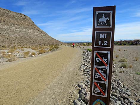 Trail marker (mileage = 1.2 miles) |
 |
 |
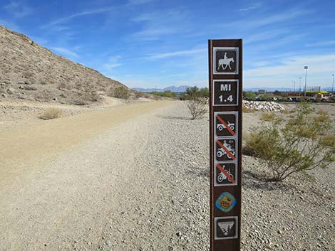 Trail marker (mileage = 1.4 miles) |
 Hiker turning the third corner around Lone Mountain (view E) |
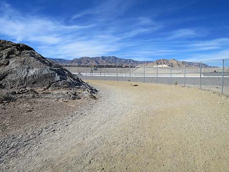
 West side start of the South Ridge route (view E) |
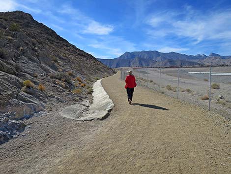
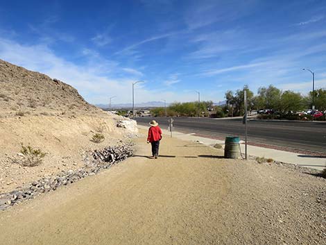
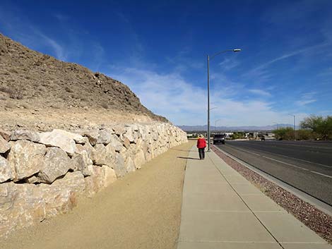 Trail follows the sidewalk along West Alexander (view E) |
 Trail follows the sidewalk along West Alexander (view E) |
 East side start of the South Ridge route (view W) |
 Easier access to east side start of the South Ridge route (view W) |
 Trail departing the sidewalk along West Alexander (view E) |
 Hiker turning the last corner (view N) |
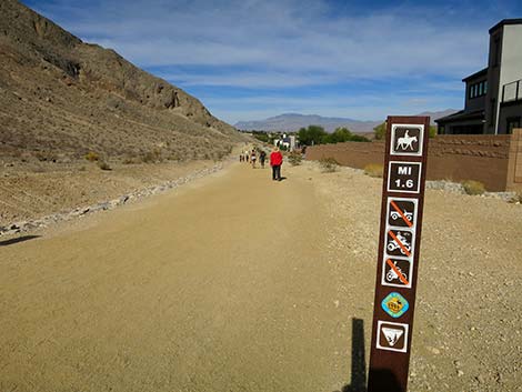 Trail marker (mileage = 1.6 miles) |
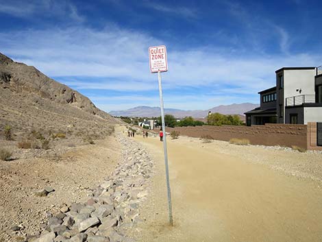 Quiet Zone? I guess the residents think hikers are too loud. |
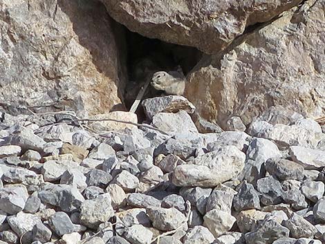 White-tailed Antelope Squirrel eating lunch |
 The trailhead comes into view (view N) |
 Hiker at another trail marker (view N) |
 Trail marker (mileage = 1.8 miles) |
 The last bit of trail before reaching the trailhead (view N) |
 Hiker passing yet more signs and trash cans (view SE) |
 Returning to Lone Mountain Park (view N) |
 The trail parallels the entrance road to Lone Mountain Park (view N) |
 Hiker passing the last trail marker (view N) |
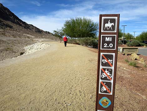 Trail marker (mileage = 2.0 miles) |
 Hiker approaching the general parking area (view N) |
 Perimeter Trail runs adjacent to the general parking area (view N) |
 Hiker returning to the general parking area (view N) |
Table 1. Hiking Coordinates and Distances based on GPS Data (NAD27; UTM Zone 11S). Download Hiking GPS Waypoints (*.gpx) file.
| Wpt. | Location | UTM Easting | UTM Northing | Elevation (ft) | Point-to-Point Distance (mi) | Cumulative Distance (mi) |
|---|---|---|---|---|---|---|
| 60 | Lone Mountain Discovery Park Trailhead | 651835 | 4011699 | 2,593 | 0.00 | 0.00 |
| 61 | Official Start of Perimeter Trail | 651701 | 4011856 | 2,661 | 0.14 | 0.14 |
| 62 | North Toe | 651331 | 4012260 | 2,743 | 0.35 | 0.49 |
| 01 | Vegas Vista Trailhead | 651066 | 4011719 | 2,789 | 0.41 | 0.90 |
| 30 | Toe South Ridge | 651771 | 4010922 | 2,669 | 0.79 | 1.69 |
| 64 | Trail Forks | 651862 | 4011073 | 2,623 | 0.12 | 1.81 |
| 60 | Lone Mountain Discovery Park Trailhead | 651835 | 4011699 | 2,593 | 0.42 | 2.23 |
Happy Hiking! All distances, elevations, and other facts are approximate.
![]() ; Last updated 240330
; Last updated 240330
| Lone Mountain | Hiking Around Las Vegas | Glossary | Copyright, Conditions, Disclaimer | Home |