Hiking Around Las Vegas, Red Rock Canyon National Conservation Area
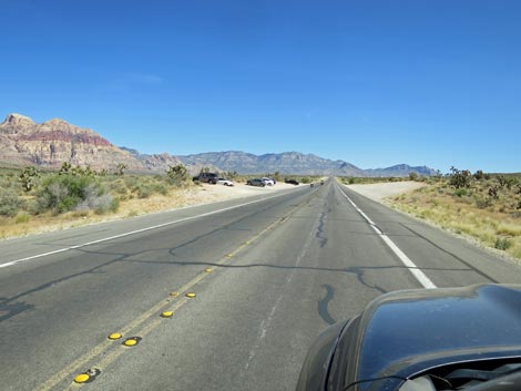
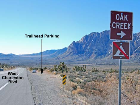 W. Charleston Blvd approaching South Oak Creek Trailhead (view S) [note: sign is missing] |
South Oak Creek Trailhead is located in Red Rock Canyon National Conservation Area, about 40 minutes west of Las Vegas, but not in the Scenic Loop Road fee area. The trailhead is located on West Charleston Blvd (Highway 159) south of the exit from the Scenic Loop Road. This trailhead is not in the fee area. From town, drive out to Red Rocks. From West Charleston at the entrance to the Scenic Loop Road (Table 1, Site 0519), continue west on Charleston Blvd. for 3.7 miles to a parking area on the right (west) side of the road (Site 0894). This is also 1.5 miles south of the exit from the Scenic Loop Road (Site 0532), and it is 1.1 miles north of the entrance to Spring Mountain Ranch State Park (Site 0673). Link to trailhead map. |
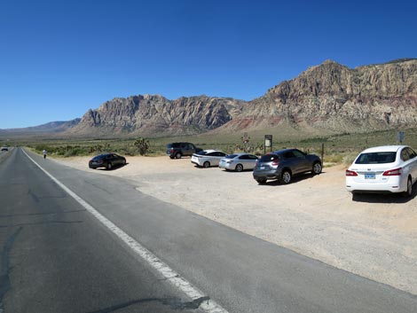
 South Oak Creek Trailhead (view W from West Charleston Blvd) |
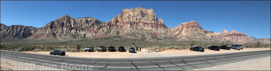
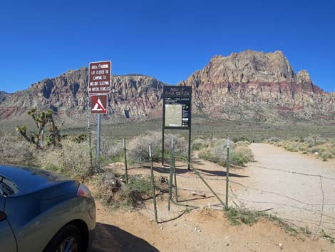
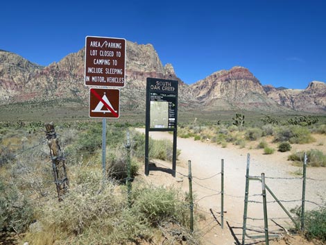
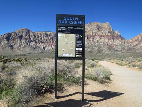
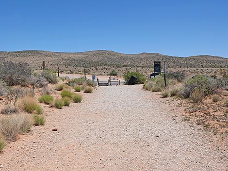
South Oak Creek Trailhead is a broad road shoulder area with a gate across a closed dirt road that leads to the historic Oak Creek Campground. The trailhead is not a defined parking lot. Park here; this is the trailhead. The main gate has been upgraded to allow access for assistive devices. These are trail-vehicles (e.g., hand-driven trikes and motorized off-road wheelchairs) that allow hikers with walking limitations to access the trails like ambulatory hikers. These gates are not intended to allow access for mountain bikes or ATVs, both of which are illegal here. Of the three trailheads with these gates, this probably is the best for riding. South Oak Creek Trailhead provides access to Mt. Wilson, Oak Creek Canyon, and several miles of easy to strenuous hiking. Trails: South Oak Creek Trail, Wilson Pimple Peak, Oak Creek Canyon. |
Approaching South Oak Creek Trailhead from the North
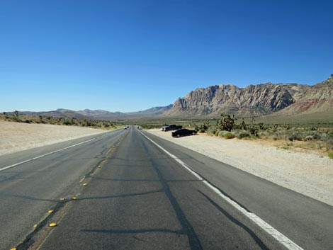 West Charleston Blvd approaching the trailhead (view S) |
 West Charleston Blvd at the trailhead (view SW) |
Approaching South Oak Creek Trailhead from the South
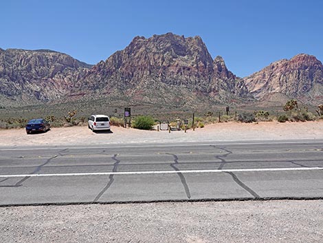
 West Charleston Blvd approaching the trailhead (view N) |
 West Charleston Blvd at the trailhead (view NW) |
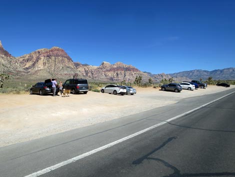
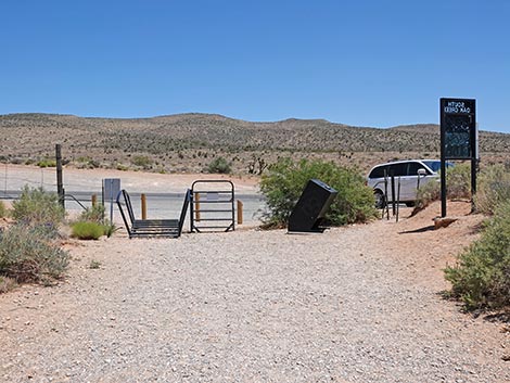
South Oak Creek Trailhead
 South Oak Creek Trailhead parking (view W) |
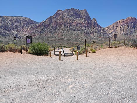
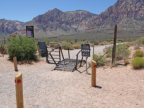 South Oak Creek Trailhead gate (view SW) |
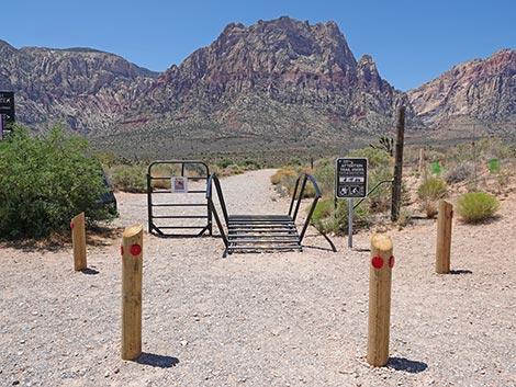 South Oak Creek Trailhead assistive gate (view W) |
 South Oak Creek Trailhead "cattle guard" gate (view W) |
 South Oak Creek Trailhead swinging gate (view NW) |
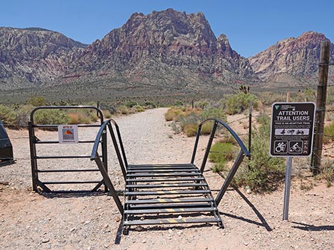
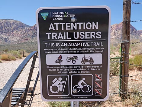 Trail not for mountain bikes or ATVs (view W) |
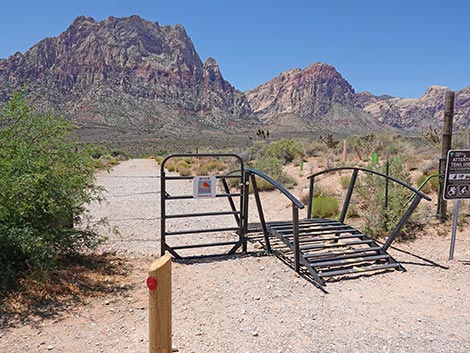
 To the side, the old gate remains intact (view W) |
 To the side, the old gate remains intact (view W) |
 South Oak Creek Trailhead sign (view W) |
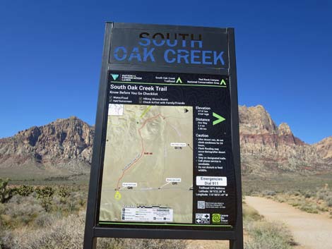 South Oak Creek Trailhead sign (view W) |
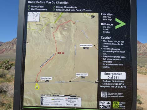 South Oak Creek Trailhead map (view W) |
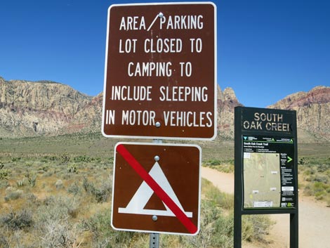 Signs: no camping at the trailhead (view W) |
Returning from South Oak Creek Trail to the Trailhead
 South Oak Creek Trail approaching the trailhead (view E) |
 South Oak Creek Trail at the trailhead (view E) |
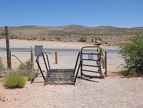 Hiker using the swing gate (view E) |
 Cattle-guard gate (view E) |
Table 1. Highway Coordinates (NAD27; UTM Zone 11S). Download Highway GPS Waypoints (*.gpx) file.
| Site # | Location | Latitude (N) | Longitude (W) | UTM Easting | UTM Northing | Elevation (feet) | Verified |
|---|---|---|---|---|---|---|---|
| 0519 | Charleston at Scenic Loop Entrance | 36.13161 | 115.42048 | 642131 | 3999501 | 3,681 | Yes |
| 0532 | Scenic Loop Rd Exit | 36.11127 | 115.44868 | 639629 | 3997203 | 3,846 | Yes |
| 0673 | Charleston at Spring Mtn Ranch Rd | 36.07365 | 115.44266 | 640237 | 3993039 | 3,600 | Yes |
| 0894 | Charleston at South Oak Creek Trailhead | 36.08956 | 115.44844 | 639689 | 3994796 | 3,757 | Yes |
Happy Hiking! All distances, elevations, and other facts are approximate.
![]() ; Last updated 250524
; Last updated 250524
| Hiking Around Red Rocks | Hiking Around Las Vegas | Glossary | Copyright, Conditions, Disclaimer | Home |