previous day | next day
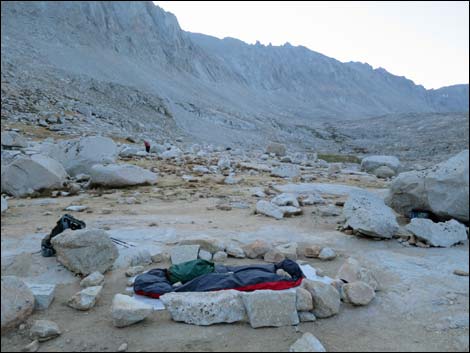 Dawn with campsite secured for the day (view SE) Dawn with campsite secured for the day (view SE) |
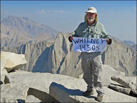
Day 5. Backpack Day 4. Up early in the first of the morning twilight, I left most of my gear in camp and hiked fairly hard and summited Mt. Whitney (14,505 ft elevation; highest peak in the lower 48 states) from the west side in four hours. I'd done it before from the east side, so this was a new route for me. It felt good to make the summit with surprisingly little effort, although the cold temperatures without direct sun certainly helped reduce overheating issues. While making the summit was great, the more important issue for me was that it marked the start of my hike north on the JMT. It felt good to be starting out on the actual quest. |
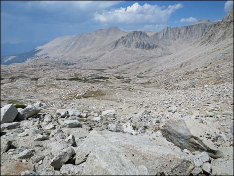
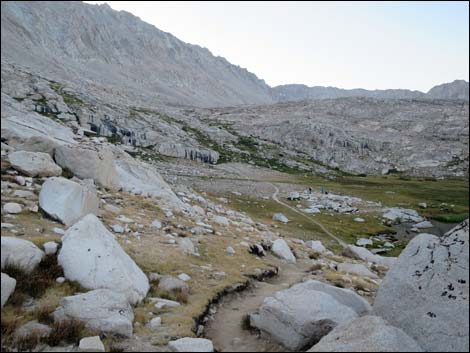 Exiting Guitar Lake Basin, proper (view SE) Exiting Guitar Lake Basin, proper (view SE) |
I spent 40 minutes in the summit cold, the started hiking down. After three hours, I picked up my gear at Guitar Lake and continued down to Crabtree Meadow. They afternoon had been stormy with lightning in the high country, but the sky cleared in the evening, so I figured the storms were done for the day (it rarely rains at night in the Sierras during summer). Unfortunately, I awoke in the darkness under a heavy downpour and got pretty wet before covering everything. |
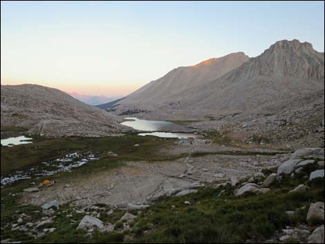 Guitar Lake with first rays of morning sun on peaks (view W) |
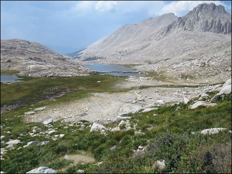
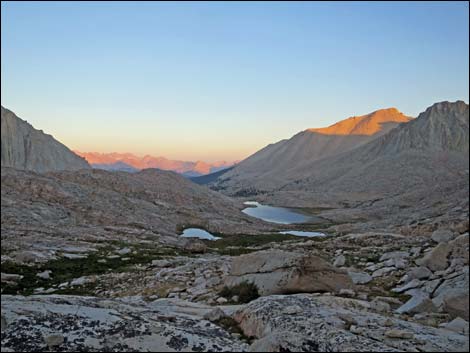 Guitar Lake with morning sun on peaks (view W) |
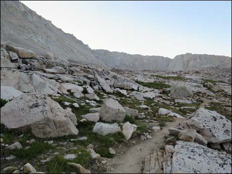 Trail climbs somewhat steeply through upper Guitar Basin (view SE) |
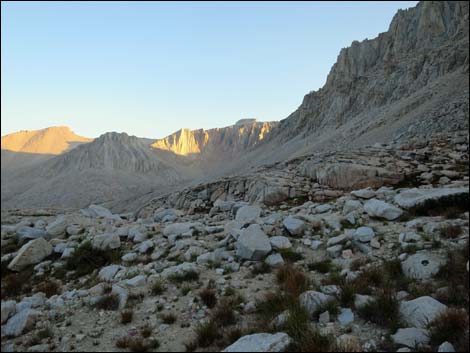 Looking back at sun on the higher peaks (view NW) |
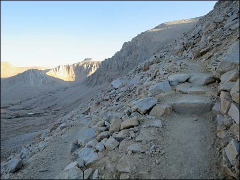
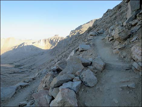
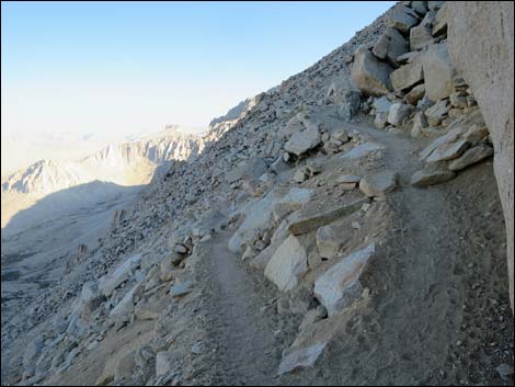
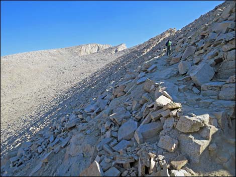
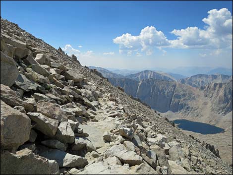
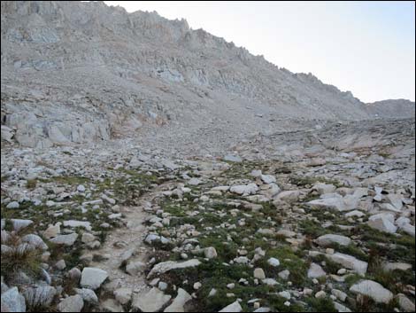 Climbing towards the base of the switchbacks (view SE) |
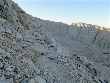 Base of the switchbacks (view S) |
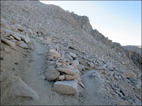
 First switchback (view N) |
 Second switchback (view S) |
 Third switchback (view N) |
 Fourth switchback (view S) |
 Fifth switchback (view N) |
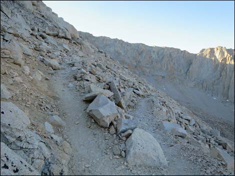
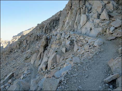
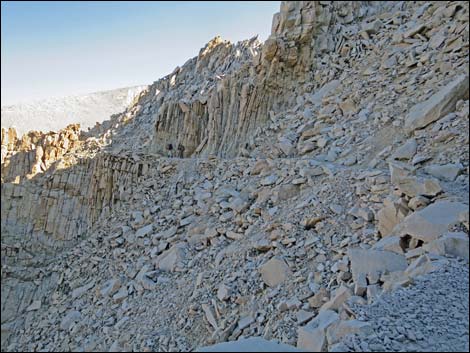
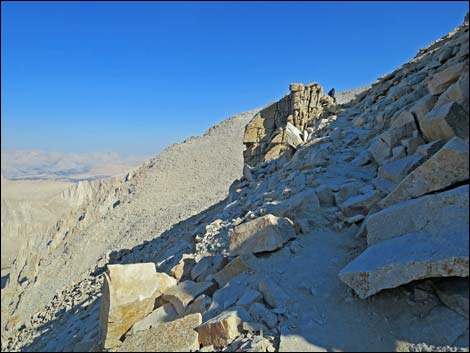
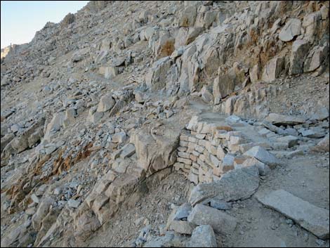 Stone wall holding up the trail (view N) |
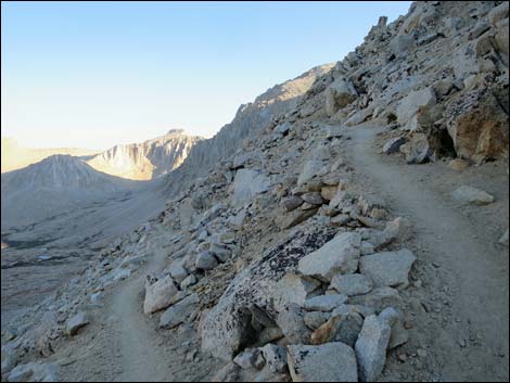
 Sixth switchback (view S) |
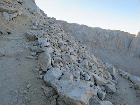
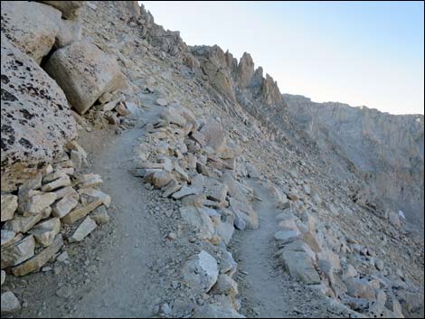
 Rocky sideridge (view S) |
 Seventh switchback (view N) |
 Steep hillside (view N) |
 Eighth switchback (view S) |
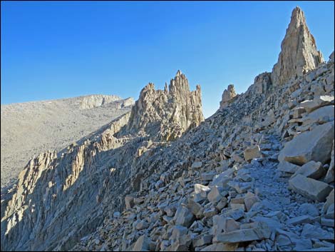
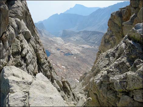
 Trail winds among huge boulders (view S) |
 Ninth switchback (view N) |
 Tenth switchback (view S) |
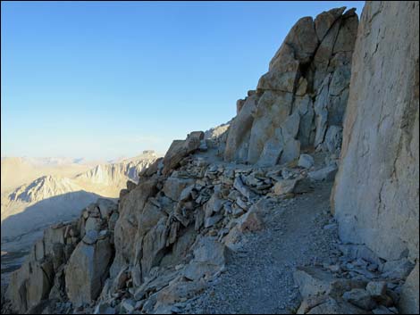
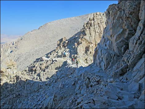
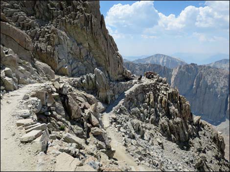
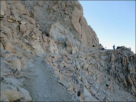 Approaching the crest and the trail junction (view S) |
 Arriving at the crest and the trail junction (view S) |
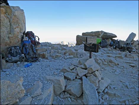
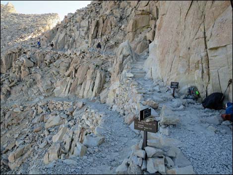 Trail Crest trail junction (view N) |
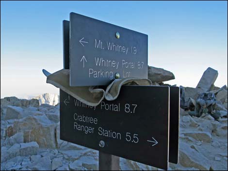 Trail junction signs (view S) |
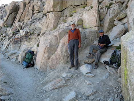 Trail buddies from Lower Crabtree Meadow (view N) |
 Mt. Whitney Trail (view N) |
 Short switchback on Mt. Whitney Trail (view S) |
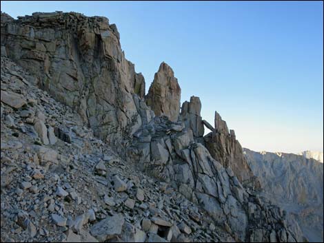
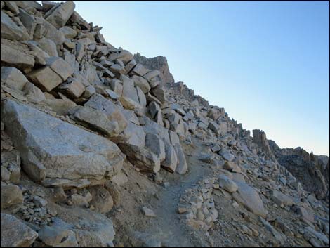
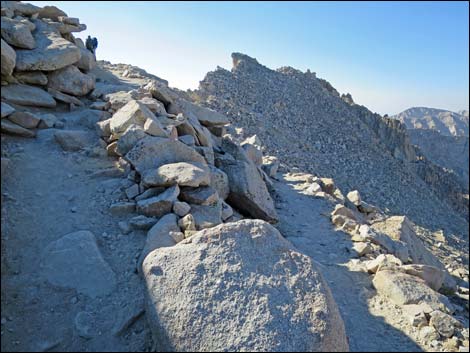
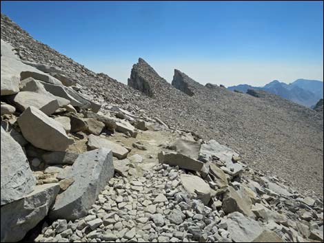
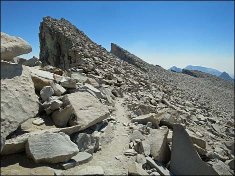
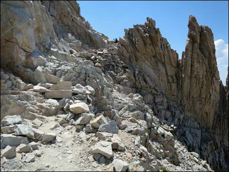
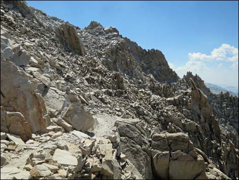
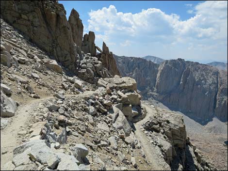
 Rock trail and rock towers (view N) |
 |
 |
 |
 |
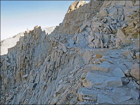
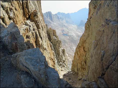
 Dropping towards First Col (view N) |
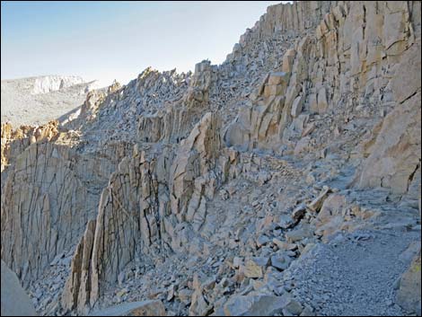
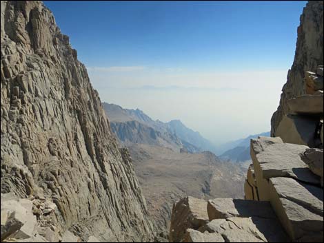
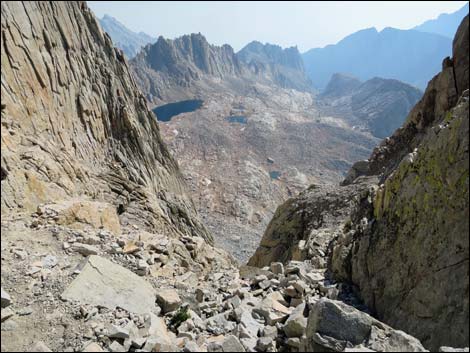 First Col (view W towards Owens Valley) |
 First Col (view E towards Guitar Basin) |
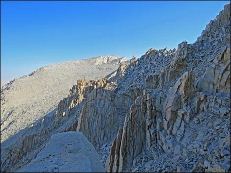
 Second Col (view W towards Owens Valley) |
 Second Col (view W towards Guitar Basin) |
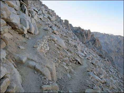
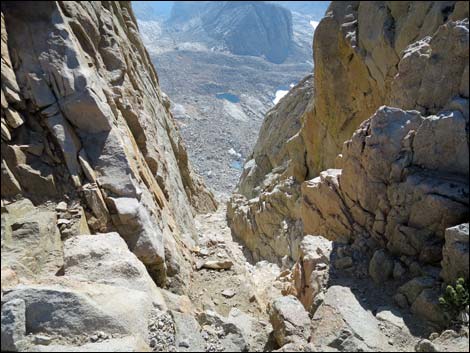
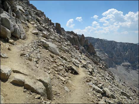
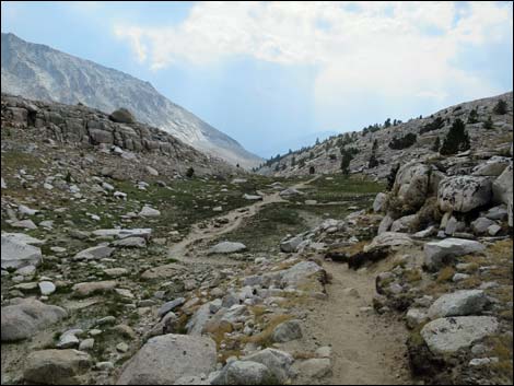
 Rocky trail (view N) |
 Rocky trail (view N) |
 Third Col (view E towards Owens Valley) |
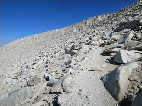
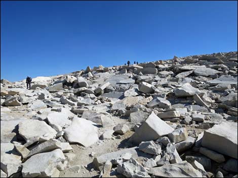
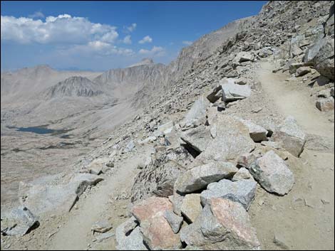
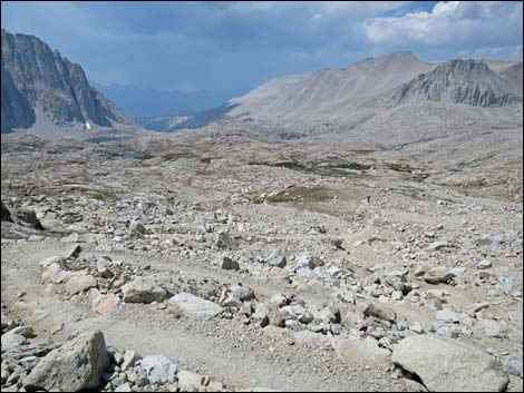
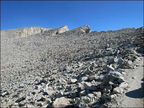 Vast field of rocks (view N) |
 Approaching Fourth Col (view E) |
 Fourth Col (view E towards Owens Valley) |
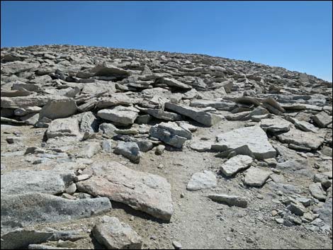
 Traversing vast field of rocks (view N) |
 Fifth Col (view E towards Owens Valley) |
 Rocky trail (view N) |
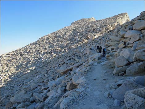
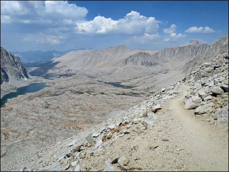
 First view up the broad summit ridge (view NE) |
 Grand scenery (view NW) |
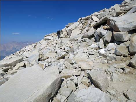
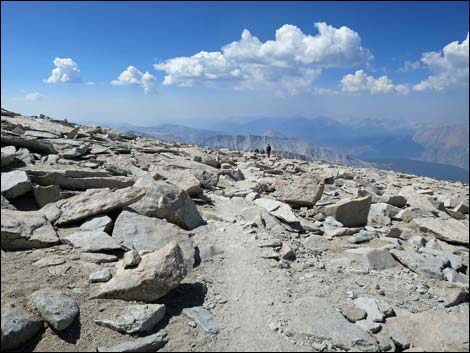
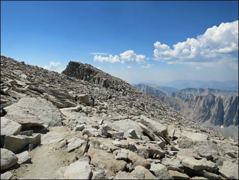
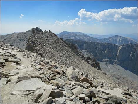
 Broad summit ridge (view SE) |
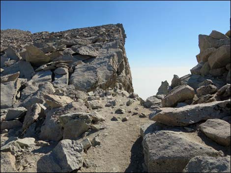
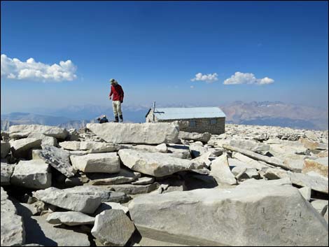
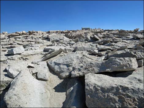 First view of summit cabin (view NE) |
 Summit (view NE) |
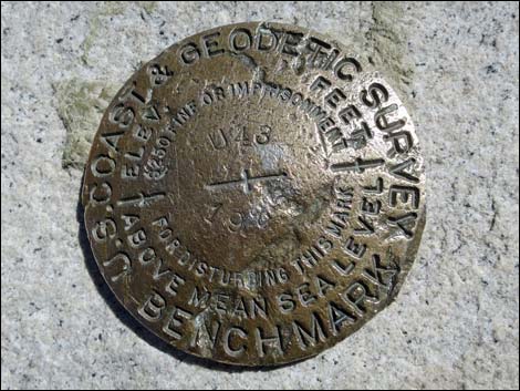 USGS benchmark |
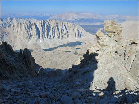
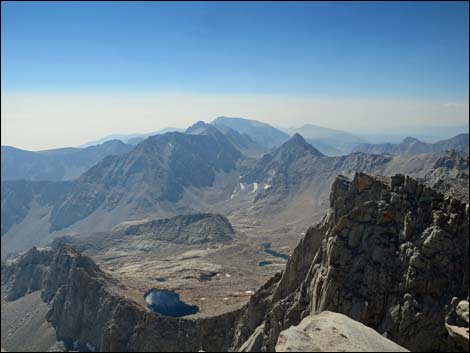
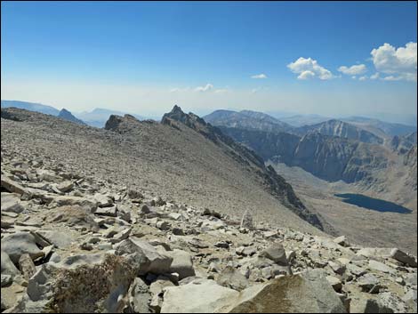
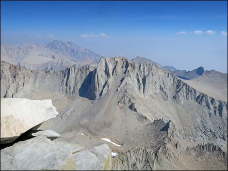 Grand scenery (view NE) |
 Grand scenery (view N) |
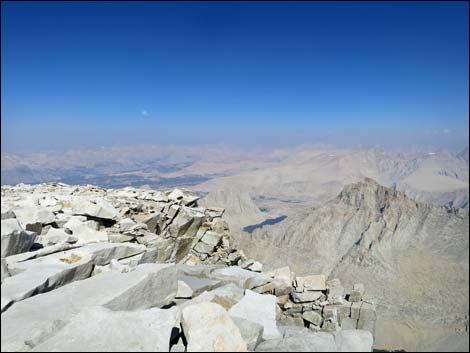
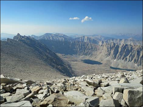
 Grand scenery (view W) |
 Grand scenery (view S) |
 Grand scenery (view S) |
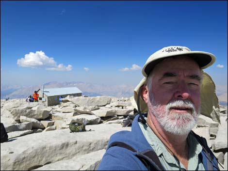 Selfie on the summit (view W) |
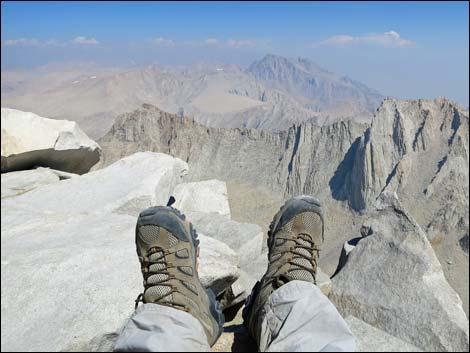 Selfie on the summit (view NE) |
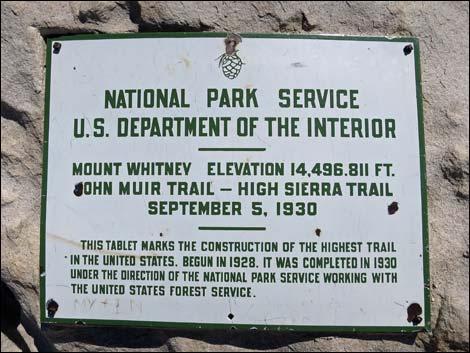 Summit plaque |
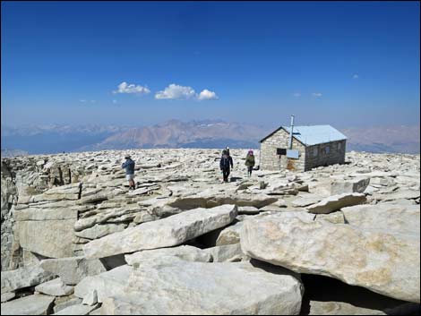 Departing the summit (view SW towards cabin) |
 Descending off the broad summit ridge (view SW) |
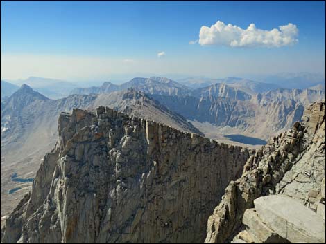
 Starting the long summit-ridge traverse (view SE) |
 Approaching the Fifth Col (view SE) |
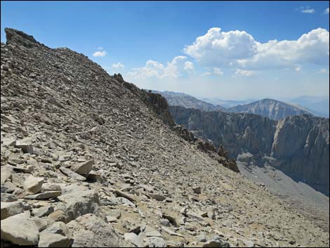
 Grand scenery (view S) |
 Grand scenery (view S) |
 Approaching the Fourth Col (view S) |
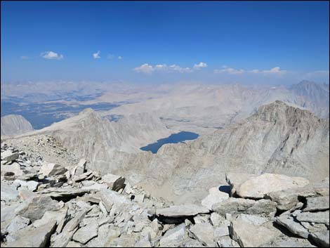
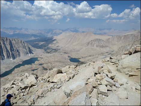
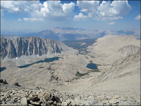 Grand scenery (view W towards Guitar Lake) |
 Traversing the long summit-ridge (view S) |
 At the First Col, beginning to climb out of the saddle (view S) |
 Traversing the long summit-ridge (view S) |
 Trail off the summit-ridge become visible (view S) |
 Switchbacking down the long summit-ridge (view S) |
 Trail Crest junction becomes visible in the distance (view S) |
 Approaching Trail Crest junction (view S) |
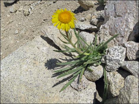 Flower along the trail |
 Eighth switchback heading down (view S) |
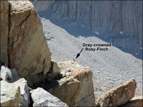 One of several Gray-crowned Rosy-Finches along the trail |
 Approaching the seventh switchback heading down (view S) |
 Approaching the fifth switchback heading down (view S) |
 Passing the third switchback (view NW) |
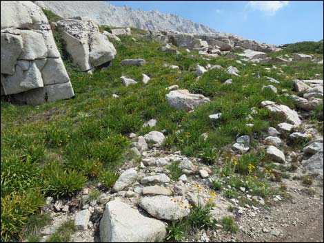
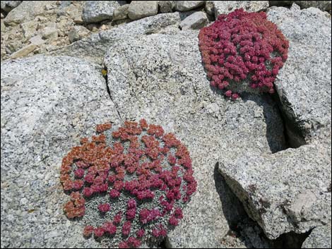 Interesting high-elevation plants growing in the rocks |
 Descending rocky hillsides below the switchbacks (view NW) |
 Descending rocky hillsides below the switchbacks (view W) |
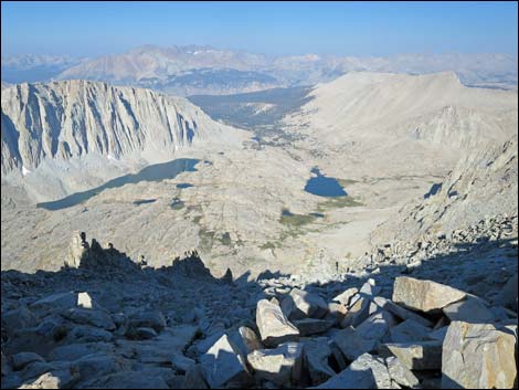
 Descending through alpine meadows in Upper Guitar Basin (view W) |
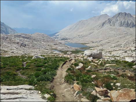
 Guitar Lake in the distance (view W) |
 Looking back up at alpine meadows on rocky hillside (view E) |
 Descending through alpine meadows below Guitar Lake (view W) |
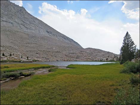 Approaching Timberline Lake (view SW) |
 Descending towards meadow along Whitney Creek (view W) |
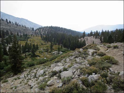
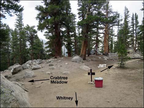 JMT-Crabtree Meadow trail junction (view SW) |
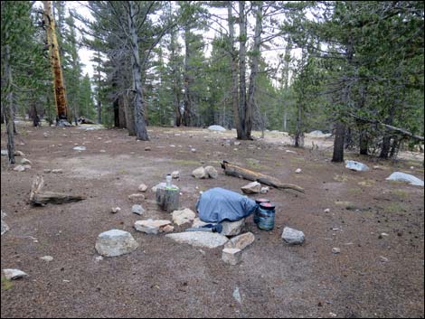 Damp Crabtree Meadow campsite (view NW) |
Note: All distances, elevations, and other facts are approximate.
![]() ; Last updated 170201
; Last updated 170201
| John Muir Trail | Postcards | Copyright, Conditions, Disclaimer | Home |