Hiking Around Las Vegas, Mojave National Preserve
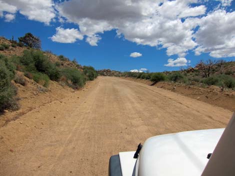
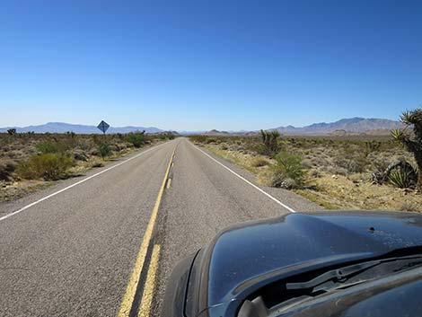
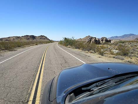
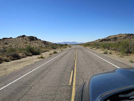
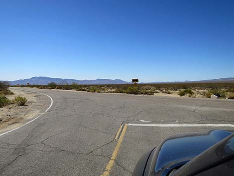
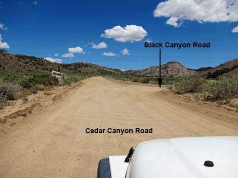 Cedar Canyon Road at Black Canyon Road (view E) |
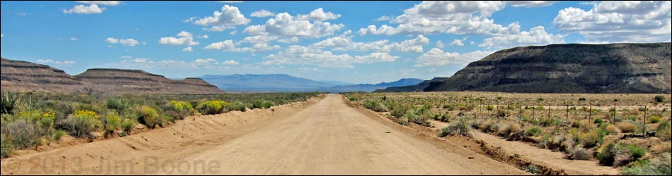
Overview Black Canyon Road (southbound) runs north-south through the central portion of the Preserve connecting Cedar Canyon Road with Essex Road and Interstate-40. The northern 9.1 miles are graded dirt, and the remaining 10.7 miles are paved. The dirt portion generally is fine for sedans, but it can be badly washboarded. This road provides access to several hikes, homes, ranches, and developed and primitive camping areas in Round Valley, Gold Valley, and Fenner Valley. This road also connects with roads leading to the Hole-in-the-Wall Visitor Center and the Fire Station. Link to map. |
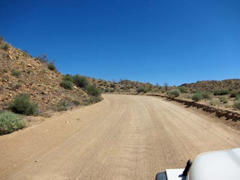
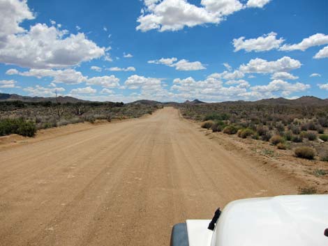
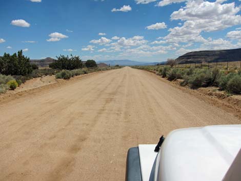
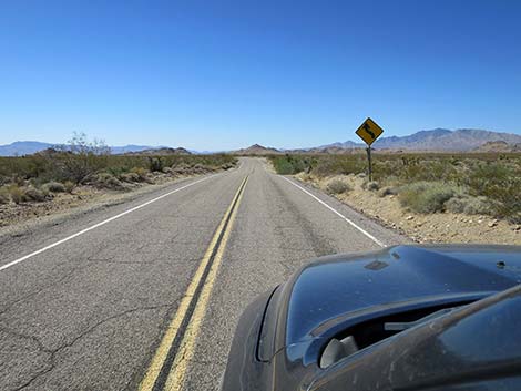
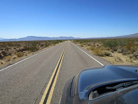
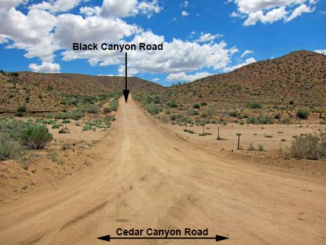 Black Canyon Road (view S from Cedar Cyn Rd) |
Watch Out Other than the standard warnings about being in the desert, ... the road is easy in a 2WD-HC vehicle, and it should be passable in a carefully driven sedan. If driving a sedan, inquire locally about current conditions and use your own good judgment about the road, as the road is subject to washouts. Much of the dirt road can be driven at 45 mph, but if driving that fast, pay attention to unsigned curves. Watch for cows on the road, and especially watch for black cows on the road at night! While out in the desert, please respect the land and the other people out there, and try to Leave No Trace of your passage. Also, the area is remote, so be sure to bring the 10 Essentials. |
 |
Getting to the Road This road is located in Mojave National Preserve, about 2 hours south of Las Vegas. From town, drive south on I-15 to Mojave National Preserve. From Kelso-Cima Road, turn left onto Cedar Canyon Road. Drive east 6 miles to Black Canyon Road (Table 1, Site 0833) on the right. From the south, exit I-40 onto Essex Road northbound (Site 1474). Drive north 9.9 miles to Black Canyon Road (Site 0845) on the right. |
 |
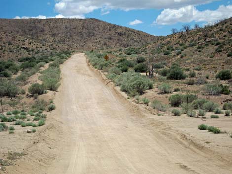
The Road On Cedar Canyon Road (Site 0833), Black Canyon Road forms a T-intersection to the right. Black Canyon Road drops into and crosses Cedar Canyon Wash, which can be washed out, and heads south and up a fairly steep canyon. Near the top of the canyon, the road winds through S-curves. When going by, note a bedrock outcrop in the road, as this can be quite a surprise when going down too fast. I was a passenger in a van that nearly crashed here when an idiot driver hit the bumps going downhill too fast. The road breaks out into Round Valley where the road is broad, fairly straight, and tends to be smooth. At about 2.5 miles out, a side road to the right leads to nice, primitive campsites near a rock outcrop by a working windmill. |
 |
Continuing south, Black Canyon Road passes a T-intersection with the north end of Wild Horse Road (Site 0834). This road leads to Mid Hills Campground and will loop back into Black Canyon Road about 7-1/2 miles farther south. Beyond Wild Horse Road, Black Canyon Road starts down into Black Canyon. The road becomes narrow and winding as it hugs the left hillside above Black Canyon Wash. The road can be bumpy with rocks and heavily washboarded. The road eventually crosses Black Canyon Wash and begins to cross Gold Valley where the road again tends to run broad, smooth, and slightly downhill. At about 8-1/2 miles out, notice Hole-in-the-Wall Campground ahead on the right. |
 |
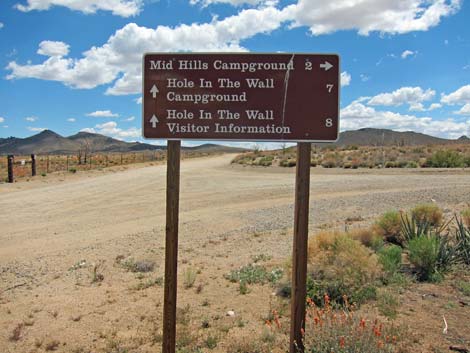
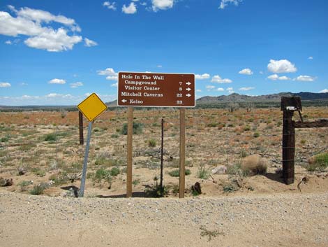
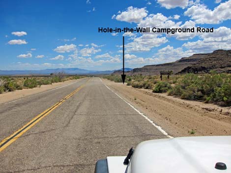
The pavement (Site 1473) begins at 9.0 miles out, and shortly the road arrives at the entrance to Hole-in-the-Wall Campground (Site 0836). This is a nice campground with tent and trailer sites, including a dump station, but no hookups. Continuing another 1/4-miles, the paved road reaches a 4-way intersection (Site 0836). To the right is Hole-in-the-Wall Visitor Center and picnic area, plus trailheads for several hikes. To the left is the Fire Station and a group and equestrian campground. Continuing yet another 1/4-miles, the road reaches a T-intersection (Site 1267) where the south end of Wild Horse Road departs to the right. From there, the road runs south, southwest without interruption for 9.5 miles to Essex Road (Site 0845). |
 Bedrock in the road is a surprise coming back down (view SE) |
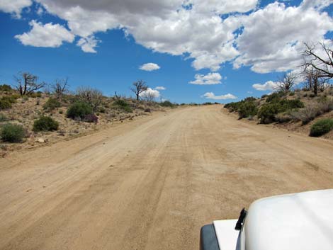
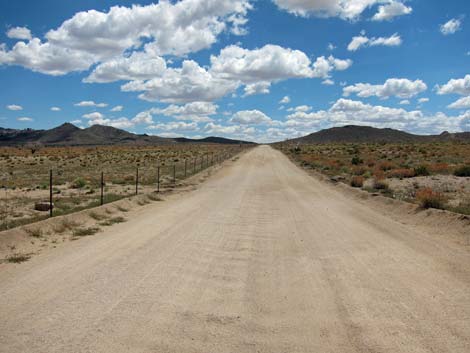
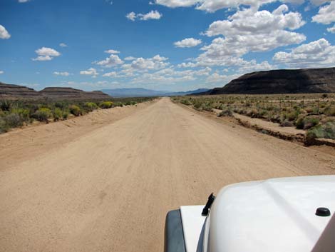
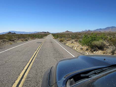
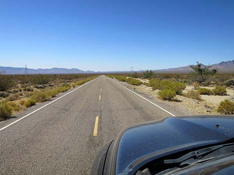
 Crossing Round Valley (view S) |
 |
 |
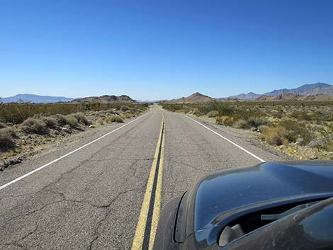
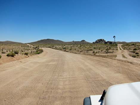 Turnoff to Windmill primitive camp area (view SW) |
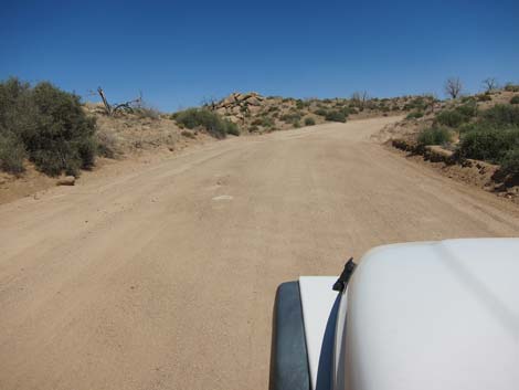
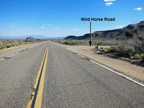
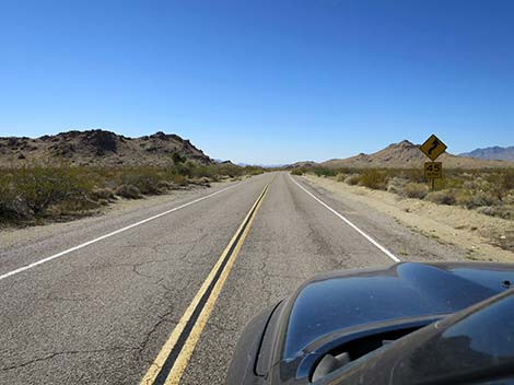
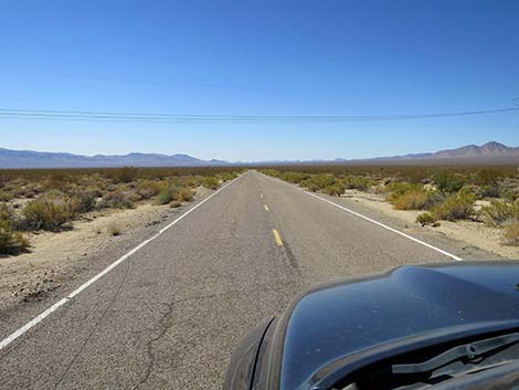
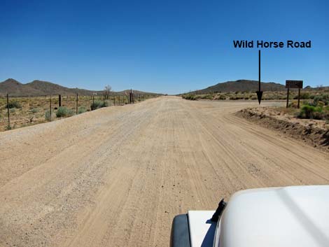 Approaching Wild Horse Road - north end (view S) |
 Wild Horse Road - north end (view W from Black Canyon Road) |
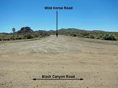
 Road sign: Black Canyon Road at Wild Horse Road |
 Road sign: Wild Horse Road at Black Canyon Road |
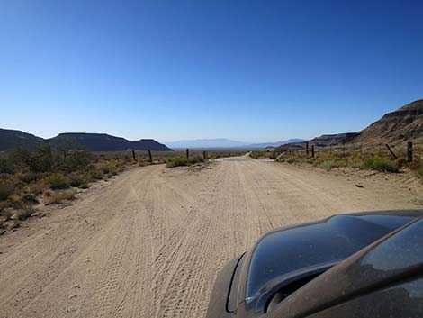
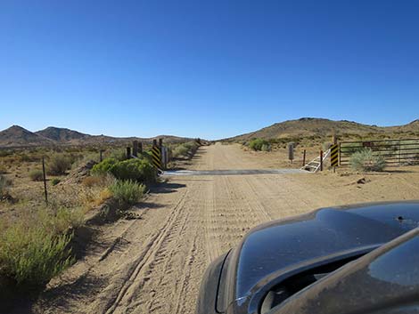 Black Canyon Road approaching a cattle guard (view S) |
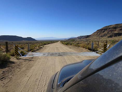
 Black Canyon Road at a cattle guard (view S) |
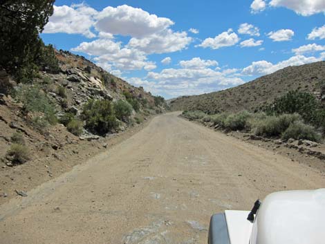
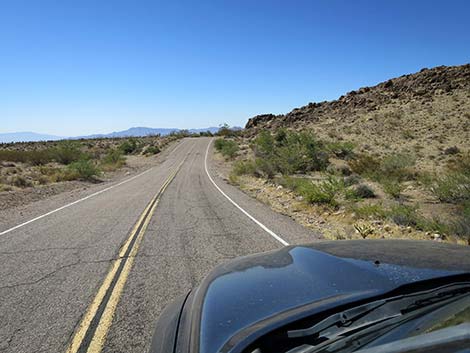
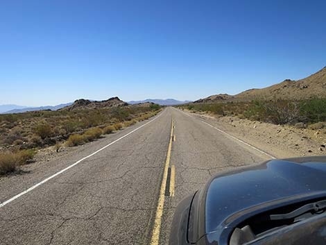
 Dropping into Black Canyon (view S) |
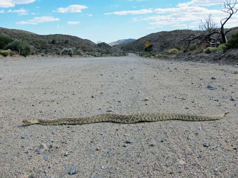 Watch for wildlife on the road ... |
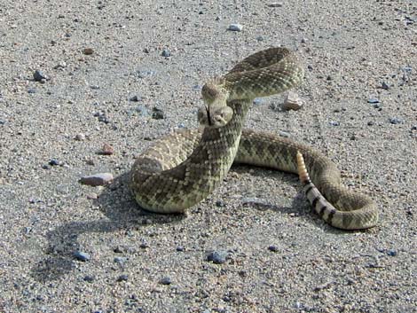 ... but don't annoy them too much! (Mojave "Green" Rattlesnake) |
 Rocky bumps in Black Canyon (view S) |
 Washboarded road in Black Canyon (view S) |
 Road crosses Black Canyon Wash (view S) |
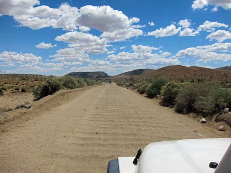
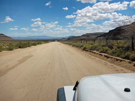
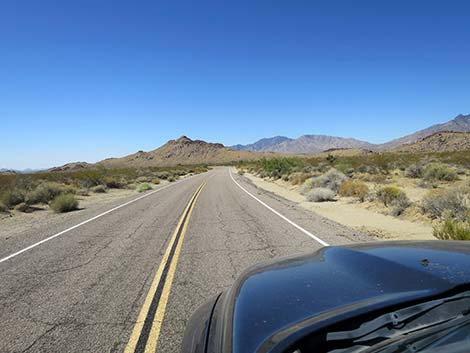
 Crossing Gold Valley (view S) |
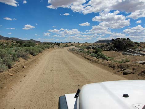
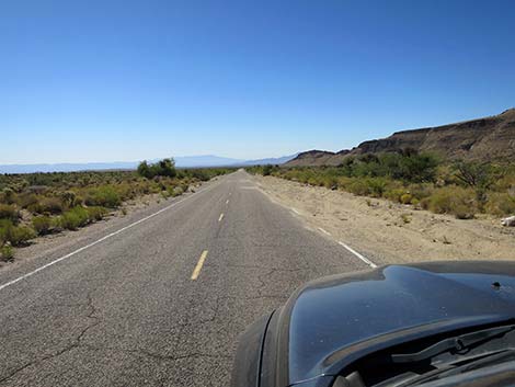
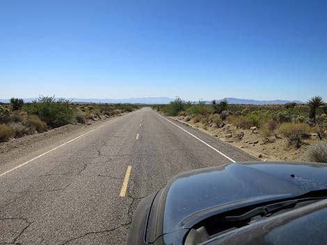
 Black Canyon Road (view S) |
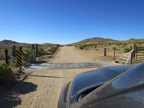
 Black Canyon Road approaching a cattle guard (view S) |
 Black Canyon Road at a cattle guard (view S) |
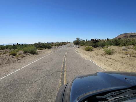
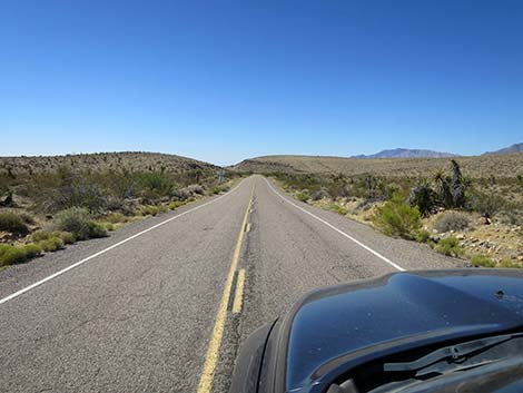
 Black Canyon Road (view S) |
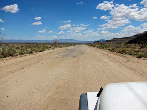 Start of the pavement (view S) |
 Approaching Hole-in-the-Wall Campground (view S) |
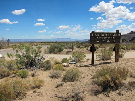 Hole-in-the-Wall Campground sign (view S) |
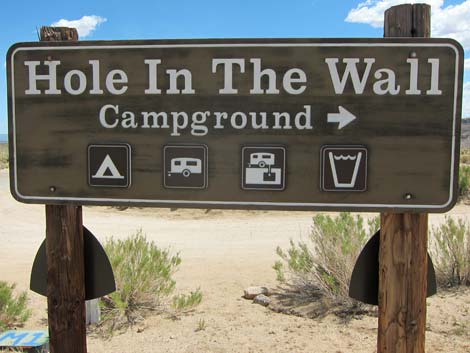 Hole-in-the-Wall Campground sign (view S) |
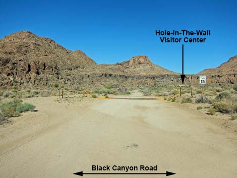
 Approaching Hole-in-the-Wall Visitor Center Road (view S) |
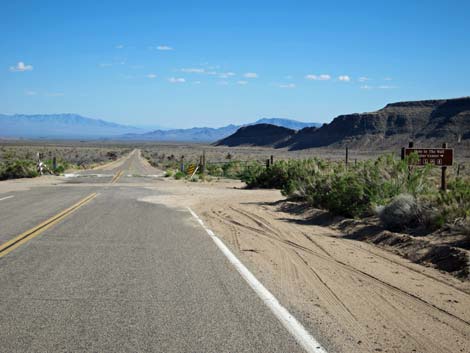 Arriving at Hole-in-the-Wall Visitor Center Road (view S) |
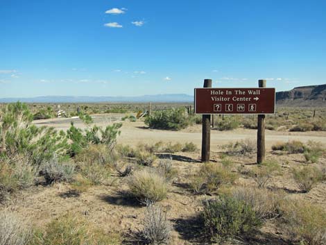 Hole-in-the-Wall Visitor Center sign (view S) |
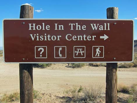 Hole-in-the-Wall Visitor Center sign (view S) |
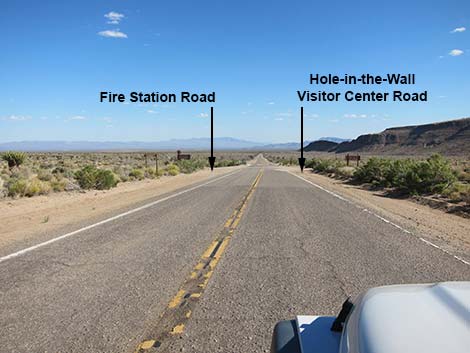
 Hole-in-the-Wall Visitor Center Rd (view W from Black Canyon Rd) |
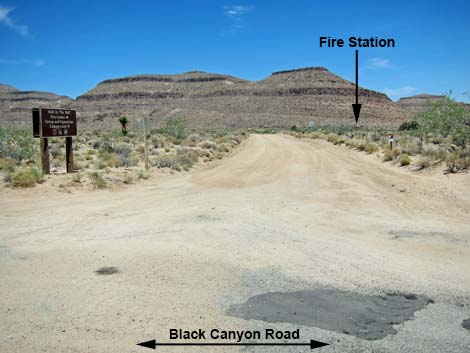 Hole-in-the-Wall Fire Station Rd (view E from Black Canyon Rd) |
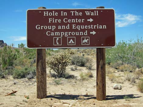 Hole-in-the-Wall Fire Station sign (view N) |
 Approaching Wild Horse Road - south end (view S) |
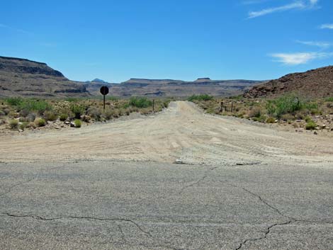 Wild Horse Road - south end (view W from Black Canyon Road) |
 Well-paved road runs into Fenner Valley (view S) |
 |
 |
 |
 |
 |
 |
 |
 |
 |
 |
 |
 |
 |
 |
 |
 |
 |
 |
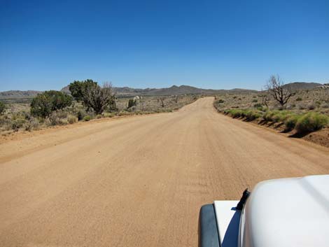
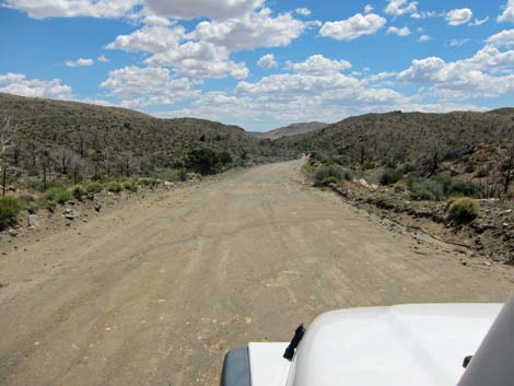
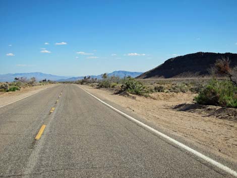
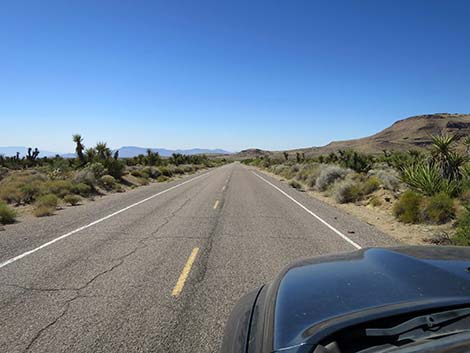
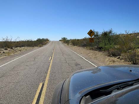
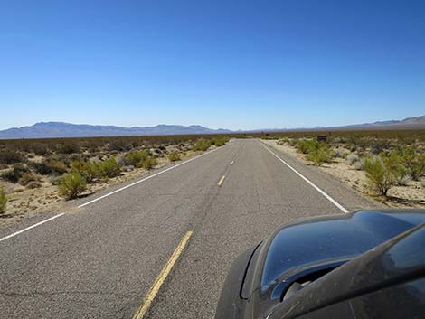
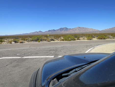
 Black Canyon Road mostly runs straight and smooth (view SSW) |
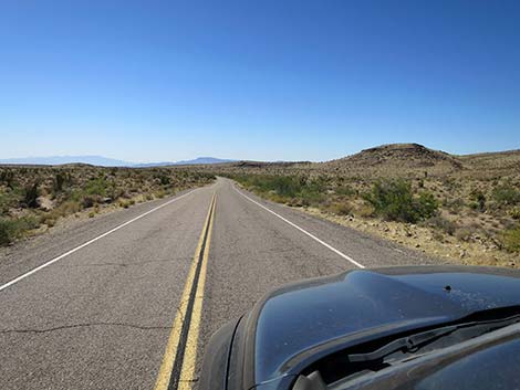
 Well-paved road crossing Fenner Valley (view SSW) |
 |
 |
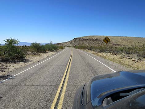
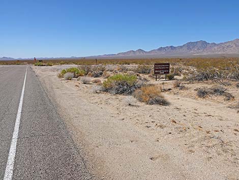 Black Canyon Road approaching Mitchell Caverns sign |
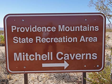 Sign: Mitchell Caverns to the right (view S) |
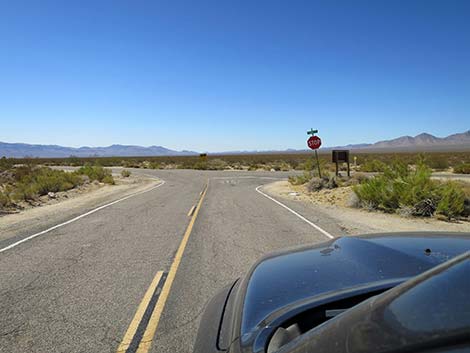 Approaching intersection with Essex Road (view SSW) |
 Black Canyon Rd at Exxex Rd; turning left towards I-40 (view SSW) |
 Black Canyon Rd at Exxex Rd; turning right towards Mitchell Caverns |
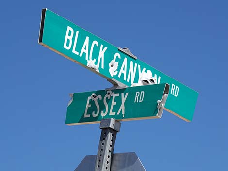 Street signs: Black Canyon Road and Exxex Road |
Table 1. Highway Coordinates Based on GPS Data (NAD27; UTM Zone 11S). Download Highway GPS Waypoints (*.gpx) file.
| Site | Location | UTM Easting | UTM Northing | Latitude (N) | Longitude (W) | Elevation (ft) | Verified |
|---|---|---|---|---|---|---|---|
| 0833 | Cedar Cyn Rd at Black Cyn Rd | 644718 | 3893322 | 35.17422 | 115.41081 | 5,007 | Yes |
| 0834 | Black Cyn Rd at Mid Hills Rd | 645618 | 3889147 | 35.13646 | 115.40166 | 5,282 | Yes |
| 0836 | Black Cyn Rd at Hole-Wall Rd | 646860 | 3878671 | 35.04184 | 115.38989 | 4,213 | Yes |
| 0845 | Black Canyon Rd at Essex Rd | 644029 | 3863839 | 34.90855 | 115.42348 | 2,887 | Yes |
| 1267 | Black Cyn Rd at Wild Horse Rd | 646945 | 3878305 | 35.03853 | 115.38903 | 4,153 | Yes |
| 1473 | Black Canyon Road at Pavement End | 646767 | 3879247 | 35.04705 | 115.39081 | 4,298 | Yes |
| 1474 | Essex Road at I-40 | 653704 | 3852069 | 34.80104 | 115.31978 | 2,044 | Yes |
Happy Hiking! All distances, elevations, and other facts are approximate.
![]() ; Last updated 241013
; Last updated 241013
| Backroads | Hiking Around Mojave Preserve | Hiking Around Las Vegas | Glossary | Copyright, Conditions, Disclaimer | Home |