Hiking Around Las Vegas, Mojave National Preserve
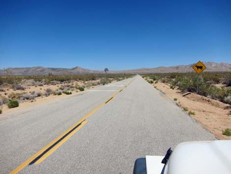
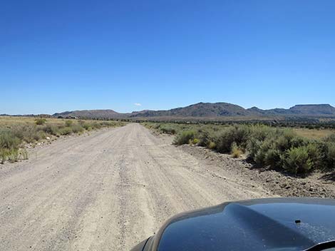
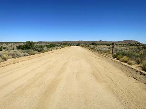
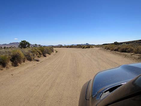
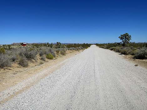
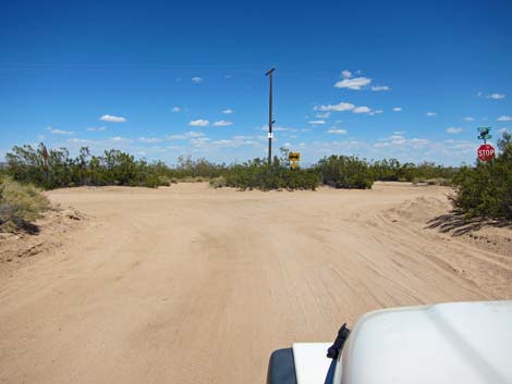
 Signs along Kelso-Cima Road (view SW) |
Overview Cedar Canyon Road starts as a paved road, but then becomes a graded dirt road that runs east-west across the central part of the Preserve, connecting Kelso-Cima Road with Ivanpah-Lanfair Valley Road. The dirt road generally is fine for sedans, but it can be badly washboarded and a few spots can be a bit washed out and sandy where drivers might be more happy in a 2WD-HC vehicle. This road provides access to hikes, homes, ranches, and primitive camping areas in Round Valley and Lanfair Valley, and it connects to Caruthers Canyon. This road also connects with roads leading to established campgrounds and the Hole-in-the-Wall Visitor Center. Link to map. |
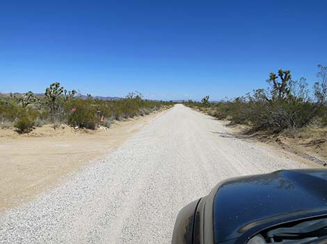
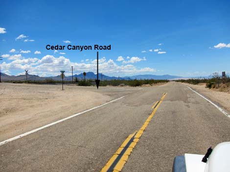 Kelso-Cima Road approaching Cedar Canyon Rd (view SW) |
Watch Out Other than the standard warnings about being in the desert, ... the road is easy in a 2WD-HC vehicle, and it should be passable in a carefully driven sedan. If driving a sedan east of Black Canyon Road, inquire locally about current conditions and use your own good judgment about the road conditions, as the road is subject to washouts. Much of the road can be driven at 45 mph, but if driving that fast, pay attention to curve-ahead signs. Watch for cows on the road, and especially watch for black cows on the road at night! While out in the desert, please respect the land and the other people out there, and try to Leave No Trace of your passage. Also, the area is remote, so be sure to bring the 10 Essentials. |
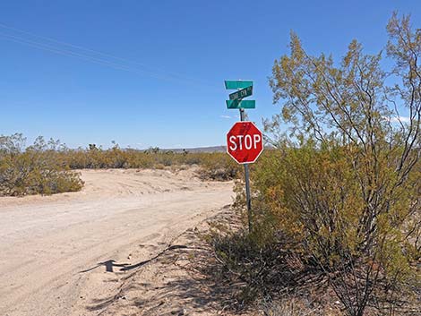
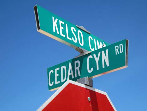 Street signs: Kelso-Cima and Cedar Canyon Road (view NW) |
Getting to the Road This road is located in Mojave National Preserve, about 1-1/4 hours south of Las Vegas. From town, drive south on I-15 to Mojave National Preserve. The west end of Cedar Canyon Road is accessed from the paved Kelso-Cima Road (Table 1, Site 0832), and the east end is accessed from the dirt Ivanpah Road (Site 1470). |
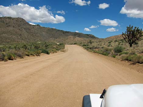
 Initially, Cedar Canyon Rd is nicely paved (view SE) |
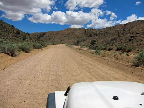
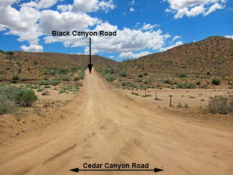
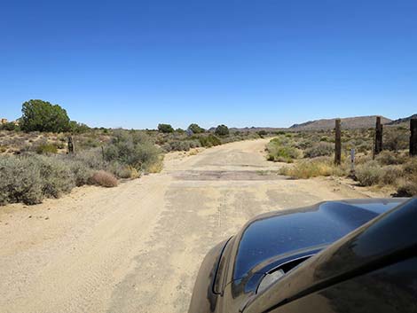
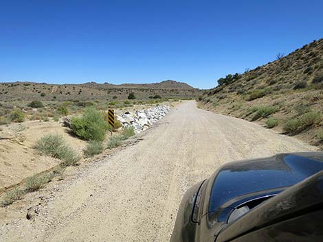
The Road From the pavement on Kelso-Cima Road (Site 0832), Cedar Canyon Road runs east, crosses ungated railroad tracks (look both ways!), and heads up the bajada towards the Mid Hills. For the first 2.3 miles, the road is paved, but parts of the pavement are damaged. After that, the road is entirely graded dirt. Cedar Canyon Road passes several minor side-roads as it winds up into Cedar Canyon. Here, drivers will encounter sharp curves that can be badly washboarded and sandy with a few rocks, but should be passable in a carefully driven sedan. At 6.0 miles out, Cedar Canyon Road reaches a T-intersection with Black Canyon Road (Site 0833), which turns right and heads south towards Mid Hills and the Hole-in-the-Wall campgrounds. |
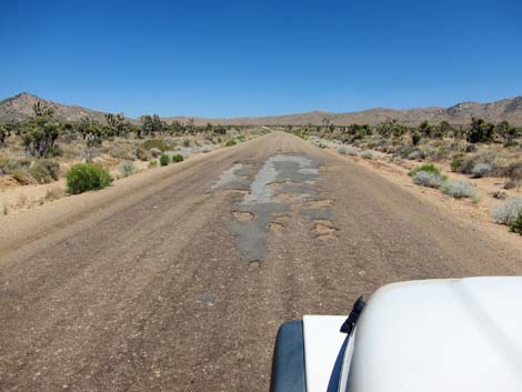 In places, the pavement is damaged (view SE) |
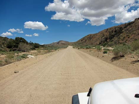
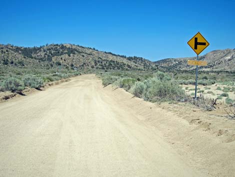
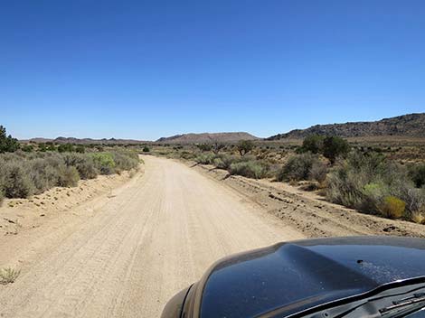
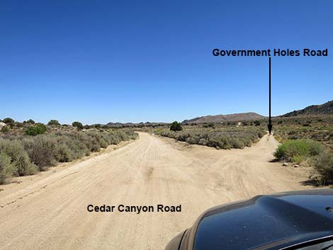
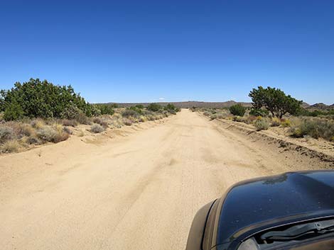
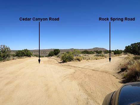
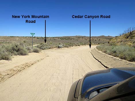
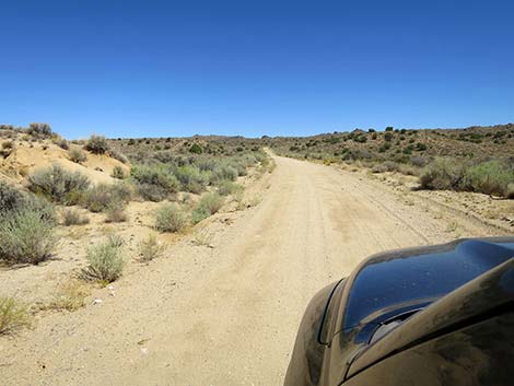
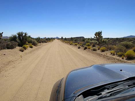
Continuing east and climbing out the top of Cedar Canyon, Cedar Canyon Road runs out across Round Valley. The road mostly is wide and smooth, which lulls drivers into excessive speed - pay attention to the "curves ahead" warning signs. Throughout Round Valley, the road passes cattle guards, minor side roads, cows, and ranches, but the main road always is obvious. At about 9.5 miles out, Government Hole Road (Site 1471) forks off to the right, and at about 10.8 miles out, Rock Spring Road (Site 1448) also forks off to the right. This road leads to the Rock House and Rock Spring Trail. Just past the turnoff to Rock House Road, Cedar Canyon Road dips towards the broad Watson Wash. On the near side of the wash, 11.2 miles out, the road reaches a T-intersection (Site 1450) with the west end of New York Mountain Road, which runs northeast from here and leads to Caruthers Canyon and Ivanpah Road. |
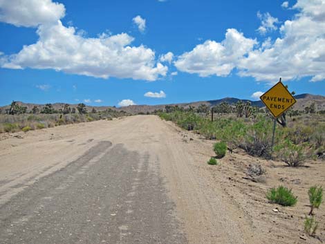 Pavement ends (view SE) |
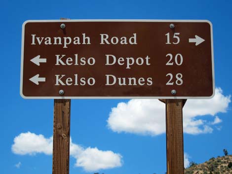
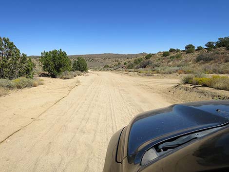
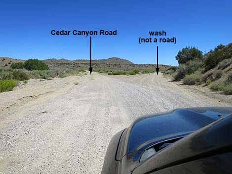
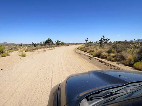
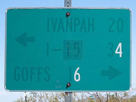
Cedar Canyon Road continues into the broad, sometimes sandy Watson Wash, climbs over a low ridge, and crosses another sandy wash. This is the area where drivers in sedans might have trouble. Beyond the troublesome spots, the road climbs over low hills and begins the long descent across Lanfair Valley. The road runs southeast, but then makes two 90-degree curves, both of which are easy to go into at excessive speed. After the second curve, the road runs east, passes around a low hill, and resumes heading east until ending at a T-intersection (Site 1470). To the left, Ivanpah Road runs north; and to the right, Lanfair Valley Road runs south towards Goffs. |
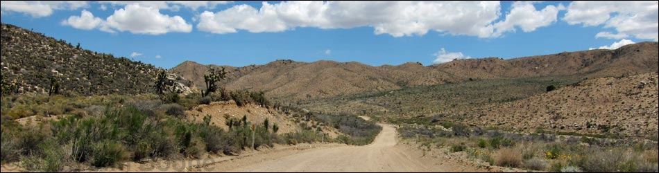
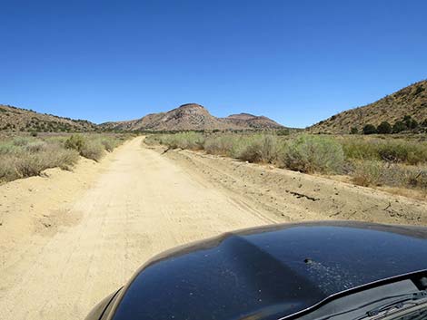
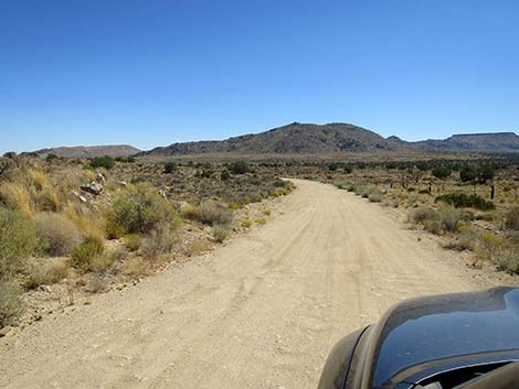
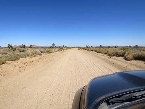
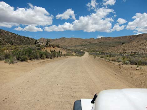 Cedar Canyon Road entering Cedar Canyon (view E) |
 Cedar Canyon Road starting up Cedar Canyon (view E) |
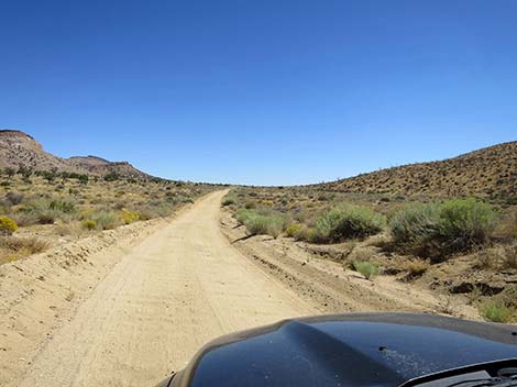
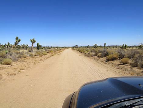
 Cedar Canyon Road (view NE) |
 Cedar Canyon Road (view NE) |
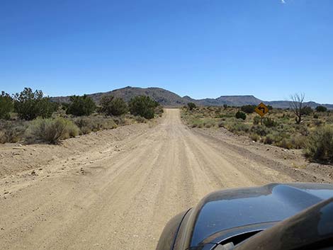
 Warning sign: Black Canyon Road ahead (view NE) |
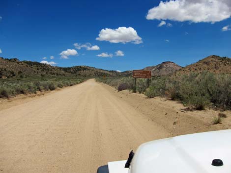 Cedar Canyon Road approaching directional signs (view NE) |
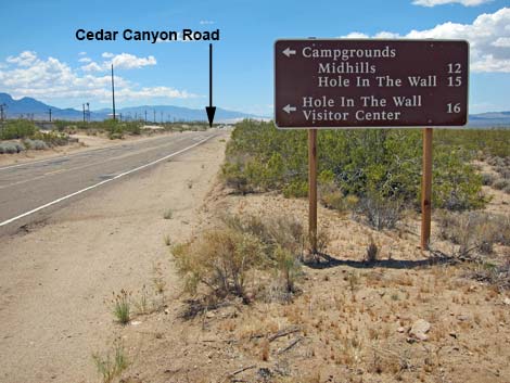
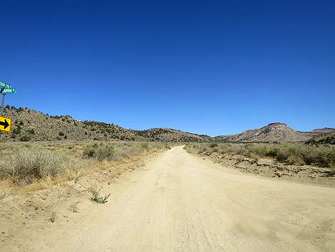
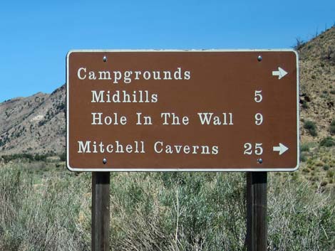 Directional sign: points of interest to the right (view NE) |
 Cedar Canyon Road approaching Black Canyon Road (view NE) |
 Signs at the intersection of Cedar Canyon and Black Canyon roads |
 Directional sign: points of interest to the left and right (view NW) |
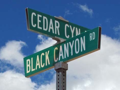 Street sign: Cedar Canyon and Black Canyon roads |
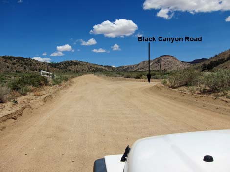
 Black Canyon Road (view SE from Cedar Canyon Road) |
 Cedar Canyon Road continues past Black Canyon Road (view NE) |
|
 Cedar Canyon Road gets washboarded (view NE) |
 Cedar Canyon Road climbing towards a low pass (view E) |
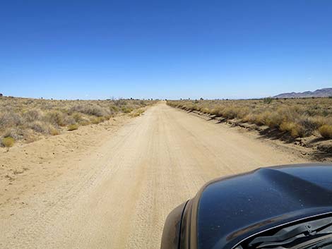
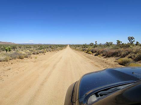
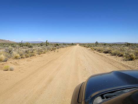
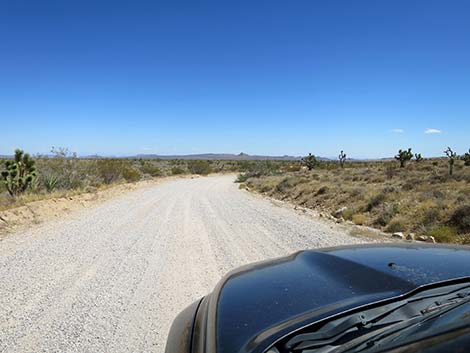
 Cedar Canyon Road on broad desert flats (view SE) |
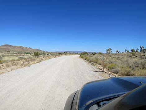
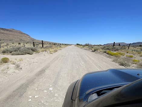 Cedar Canyon Road passing a fenceline (view SE) |
 Cedar Canyon Road in big, open country (view SE) |
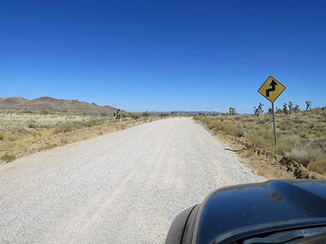
 Caution sign: sharp left turn ahead (view S) |
 The caution sign was a bit early, but the road bends left (view S) |
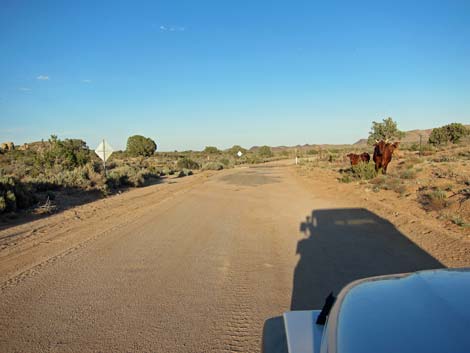 Watch for slow moving road hazards (cows) too (view E) |
 Cedar Canyon Road at a cattle guard (view E) |
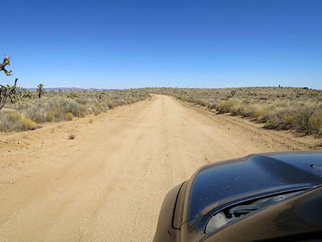
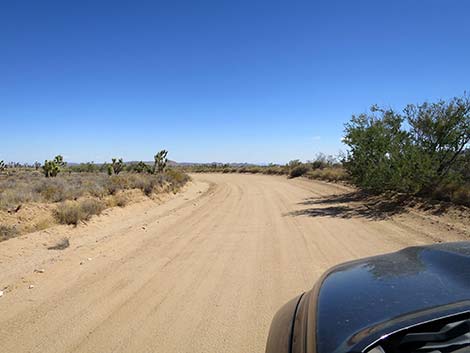
 Cedar Canyon Road (view SE) |
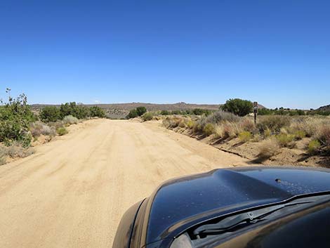
 Cedar Canyon Road at Government Holes Road (view SE) |
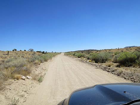
 Cedar Canyon Road (view E) |
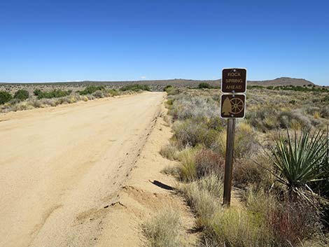
 Cedar Canyon Road approaching Rock Spring sign (view E) |
 Cedar Canyon Road at Rock Spring sign (view E) |
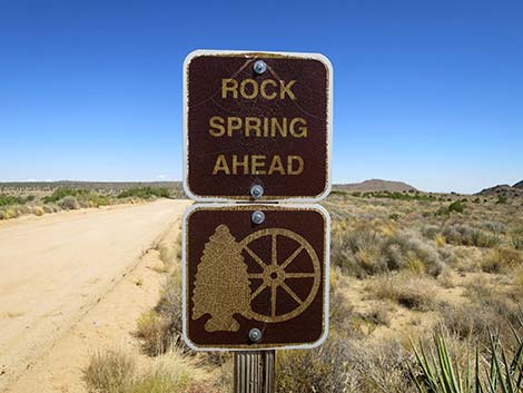 Rock Spring sign (view E) |
 Cedar Canyon Road approaching another Rock Spring sign (view E) |
 Cedar Canyon Road at first entrance to Rock Spring (view E) |
 Cedar Canyon Road at second entrance to Rock Spring (view E) |
 Cedar Canyon Road descending a shallow canyon (view E) |
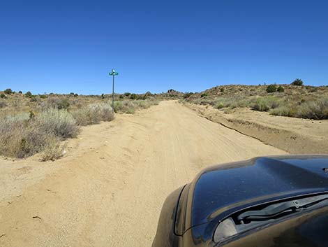
 Cedar Canyon Road approaching New York Mountain Road (view E) |
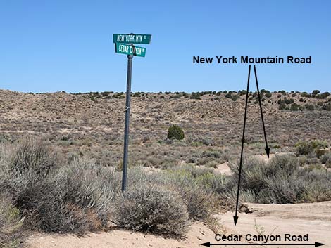 Street sign: Cedar Canyon and New York Mountain roads (view E) |
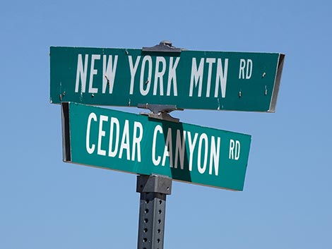 Street sign: Cedar Canyon and New York Mountain roads (view E) |
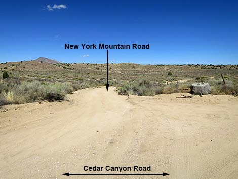 New York Mountain Road (view NE from Cedar Canyon Rd) |
 Cedar Canyon Rd continues past New York Mountain Road (view SE) |
 Cedar Canyon Road crossing Watson Wash (view SE) |
 Cedar Canyon Road climbs out of Watson Wash (view E) |
 Cedar Canyon Road approaching Maruba Road (view NE) |
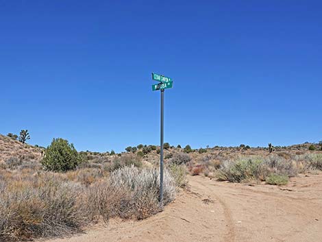 Street sign: Cedar Canyon and Maruba roads (view NE) |
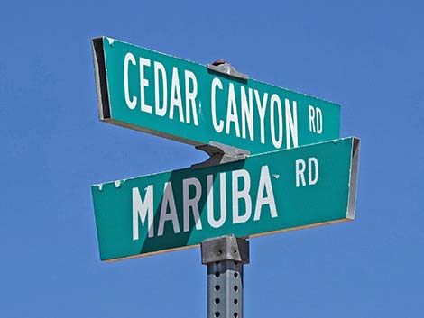 Street sign: Cedar Canyon and Maruba roads (view NE) |
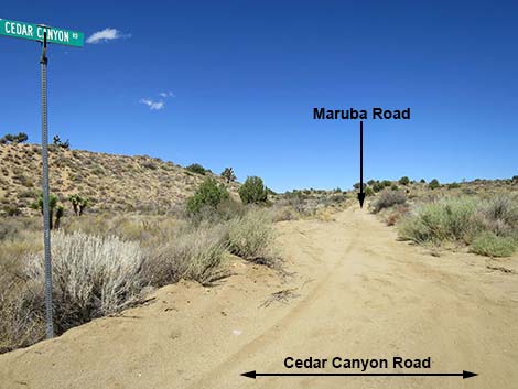 Maruba Road (view NE from Cedar Canyon Road) |
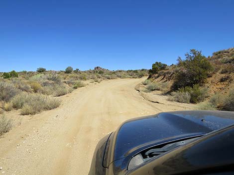 Without warning, Cedar Canyon Road bends hard right (view E) |
 Cedar Canyon Road descending a broad canyon (view S) |
 Cedar Canyon Road emerging from the broad canyon (view SE) |
 Cedar Canyon Road at the historical Mojave Road (view SE) |
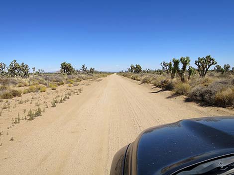 Cedar Canyon Road entering the broad Lanfair Valley (view E) |
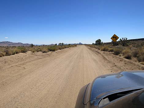
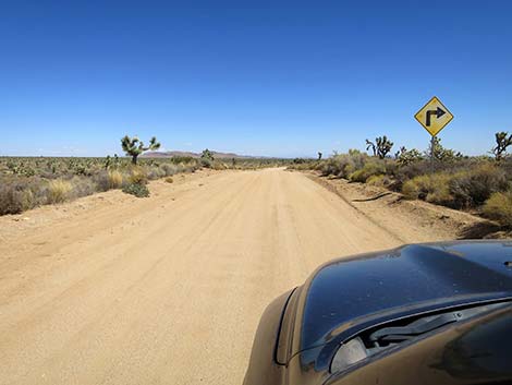 Warning sign: approaching a sharp turn right (view E) |
 Cedar Canyon Road entering a 90-degree curve to the right (view E) |
 Cedar Canyon Road past the curve (view S) |
 Cedar Canyon Road runs almost due south (view S) |
 Warning sign: approaching a sharp turn left (view S) |
 Cedar Canyon Road entering a 90-degree curve to the left (view S) |
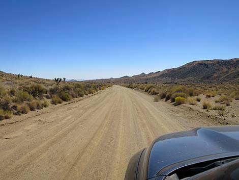
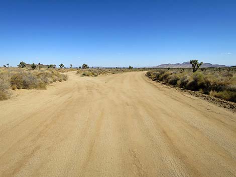
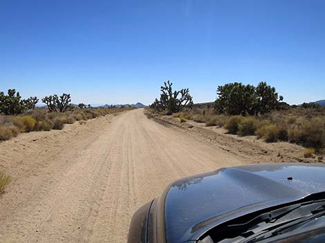
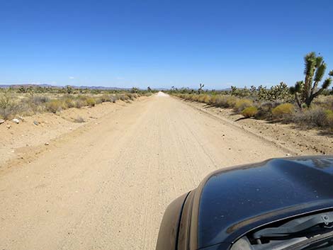
 Cedar Canyon Road continues across Lanfair Valley (view E) |
 Again, Cedar Canyon Road almost straight (view E) |
 Cedar Canyon Road continues straight across Lanfair Valley (view E) |
 Cedar Canyon Road continues straight across Lanfair Valley (view E) |
 Cedar Canyon Road takes an odd jog around a low hill (view E) |
 Cedar Canyon Road approaching a curve to the right (view NE) |
 Cedar Canyon Road approaching a curve to the right (view NE) |
 Cedar Canyon Road turning the curve back to the right (view SE) |
 Cedar Canyon Road approaching a curve to the left (view SE) |
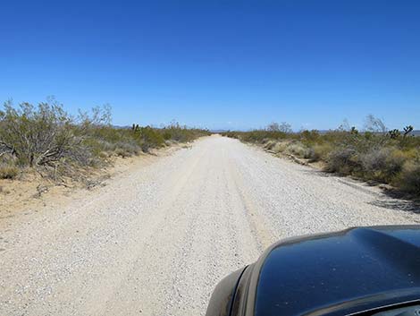
 Cedar Canyon Road resumes the eastward journey (view E) |
 Cedar Canyon Road continues straight east (view E) |
 Parts of Cedar Canyon Road have been graveled (view E) |
 Cedar Canyon Road approaching a red cabin on the left (view E) |
 Cedar Canyon Road continues straight east (view E) |
 Road bends slightly and a power pole becomes visible (view E) |
 Cedar Canyon Road approaching Ivanpah-Lanfair Valley Road (view E) |
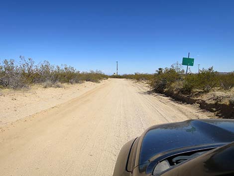
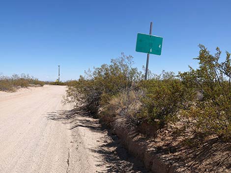 Cedar Canyon Road at a directional sign (view E) |
 Directional sign with faded text (view SE) |
 Cedar Canyon Road at a mileage marker (view E) |
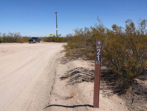 Cedar Canyon Road mileage marker: 21 miles out (view E) |
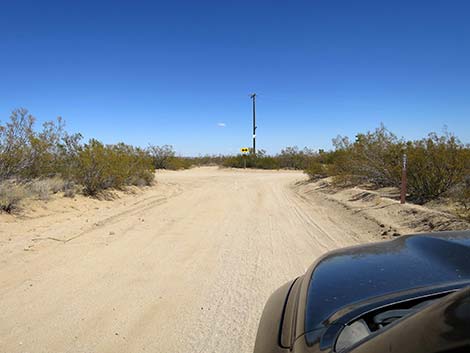
 Cedar Canyon Road at Ivanpah-Lanfair Valley Road (view E) |
 Cedar Canyon Road at Ivanpah-Lanfair Valley Road (view SE) |
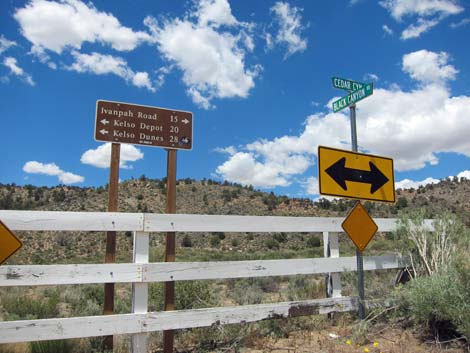
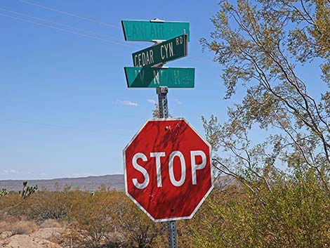 Street signs at the intersection (view SE) |
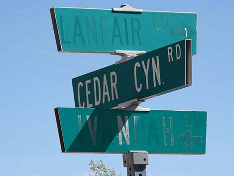 Street signs at the intersection (view SE) |
 More to come ... |
Table 1. Highway Coordinates Based on GPS Data (NAD27; UTM Zone 11S). Download Highway GPS Waypoints (*.gpx) file.
| Wpt. | Location | Latitude (N) | Longitude (W) | Elevation (ft) | Point-to-Point Distance (mi) | Cumulative Distance (mi) |
|---|---|---|---|---|---|---|
| 0832 | Cima-Kelso Rd at Cedar Cyn Rd | 35.17615 | -115.50802 | 3,727 | 0.00 | 0.00 |
| 1472 | Cedar Cyn Rd at Pavement Ends | 35.16502 | -115.46917 | 4,275 | 2.33 | 2.33 |
| 0833 | Cedar Cyn Rd at Black Cyn Rd | 35.17422 | -115.41081 | 5,007 | 3.71 | 6.04 |
| 1471 | Cedar Cyn Rd at Govt Hole Rd | 35.15296 | -115.36123 | 4,988 | 3.43 | 9.47 |
| 1448 | Cedar Cyn Rd at Rock Spring Rd West | 35.15596 | -115.33732 | 4,880 | 1.37 | 10.84 |
| 1461 | Cedar Cyn Road at Rock Spring Road E | 35.15650 | -115.33423 | 4,859 | 0.18 | 11.02 |
| 1450 | Cedar Cyn Rd at NY Mts Rd | 35.15716 | -115.33154 | 4,811 | 0.16 | 11.18 |
| 1989 | Cedar Cyn Rd at Maruba Rd | 35.15627 | -115.32062 | 4,818 | 0.64 | 11.82 |
| 1990 | Cedar Cyn Rd at Mojave Rd | 35.14555 | -115.30786 | 4,781 | 1.17 | 12.99 |
| 1470 | Cedar Cyn Rd at Ivanpah Rd | 35.12668 | -115.18277 | 4,083 | 8.13 | 21.12 |
Happy Hiking! All distances, elevations, and other facts are approximate.
![]() ; Last updated 241010
; Last updated 241010
| Backroads | Hiking Around Mojave Preserve | Hiking Around Las Vegas | Glossary | Copyright, Conditions, Disclaimer | Home |