Hiking Around Las Vegas, Mojave National Preserve
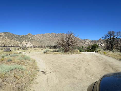
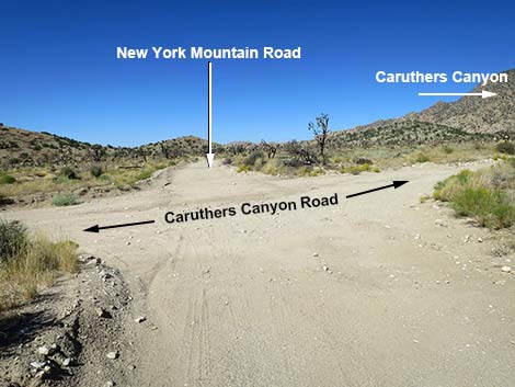 New York Mtn Rd westbound at Caruthers Canyon Road (view W) |
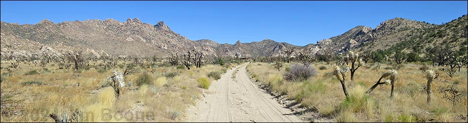
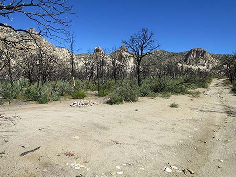
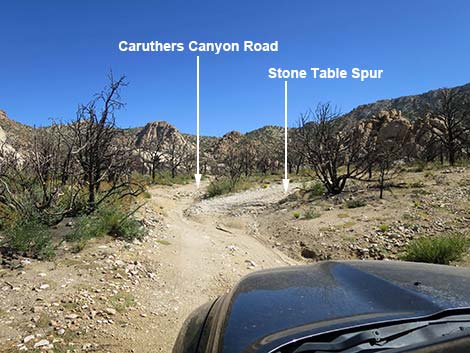
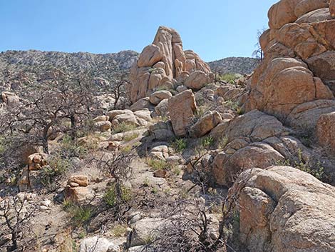
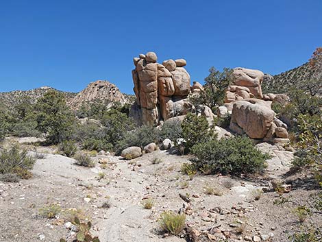
Overview Caruthers Canyon Road is an old mining and ranching road that used to 2.9 miles run up to a mine at the head of Caruthers Canyon. Lower portions of the road (the first 1.9 miles) should be fine for 2WD-HC vehicle, but it is rough in a few spots with washouts and rocks, and there is sand in the wash. I drove my truck to the Stone-Table campsite in 2WD. In these lower areas, the 2023 York Fire burned most of the trees, improving views of the scenic rock piles and surrounding mountains. Farther out, Caruthers Canyon Road is badly washed out and is only suitable for rock-hopper vehicles. A landslide eventually blocks the road (2.6 miles out), and there is no convenient place to turn around. Caruthers Canyon Road provides access to several primitive camping areas, including the Stone-Table campsite, areas to scramble among the rock outcrops, and access to several hiking routes, including Giant Ledge Mine, New York Mountain Peak, and New York Two Mountain Peak. Link to map. |
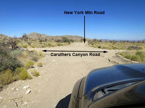 New York Mtn Rd eastbound at Caruthers Canyon Road (view E) |
Watch Out Other than the standard warnings about being in the desert, ... the road is easy in a 2WD-HC vehicle out to the campsites, and most of it should be passable in a carefully driven sedan. If driving a sedan, inquire locally about current conditions and use your own good judgment about the road conditions, as the road is subject to washouts. While out in the desert, please respect the land and the other people out there, and try to Leave No Trace of your passage. Also, even though the road is short, the area is remote, so be sure to bring the 10 Essentials. |
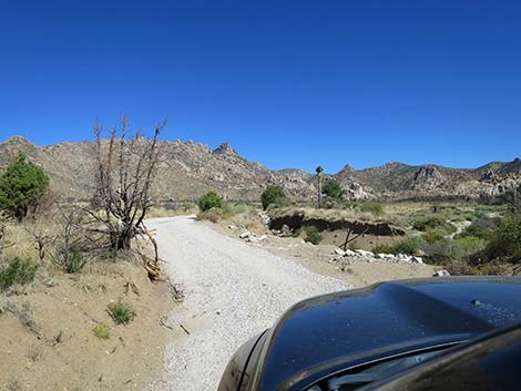
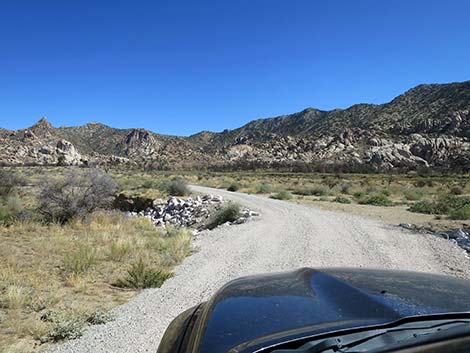
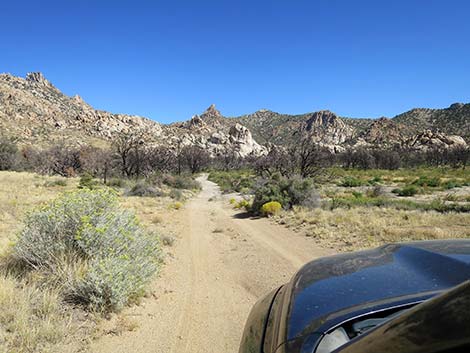
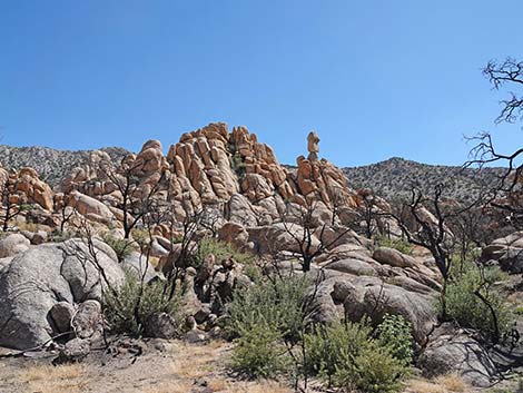
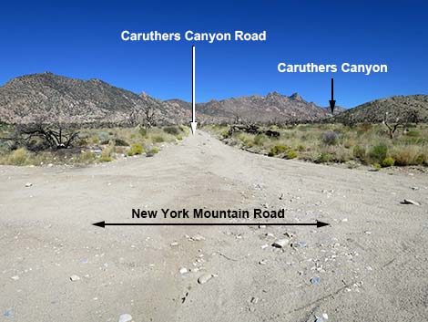 Caruthers Canyon Road (view N from New York Mtn Rd) |
Getting to the Road This road is located in Mojave National Preserve, about 2-1/4 hours south of Las Vegas. From town, drive south on I-15 into California to Nipton Road (Table 1, Site 1008). Turn left onto Nipton Road and drive east about 4 miles to Ivanpah Road (Site 1264). Turn right onto Ivanpah Road and drive south for 24.2 miles to the signed New York Mountain Road (Site 1259). Turn right onto New York Mountain Road and drive west for 5.7 miles to an unsigned four-way intersection with Caruthers Canyon Road (Site 1260). This road can also be reached by driving out toward Kelso Depot in Mojave National Preserve. From the paved Kelso-Cima road between Cima and Kelso, turn east onto the paved Cedar Canyon Road and drive 11.2 miles to a T-intersection with New York Mountain Road (Table 1, Site 1450). Turn left onto New York Mountain Road eastbound and drive out about 6.8 miles to Caruthers Canyon Road (Site 1260). |
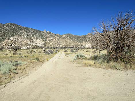
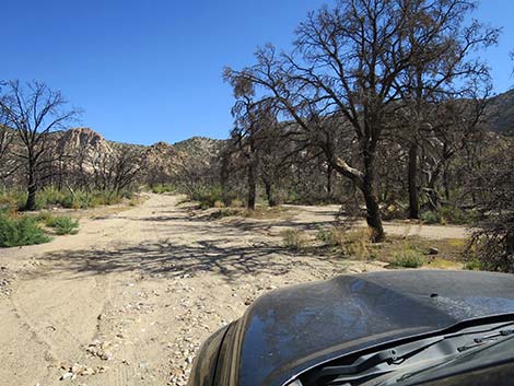
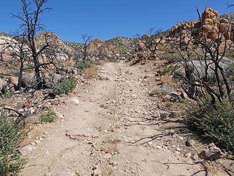
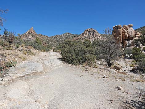
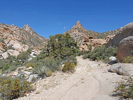
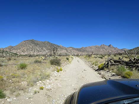 Starting up Caruthers Canyon Road (view N) |
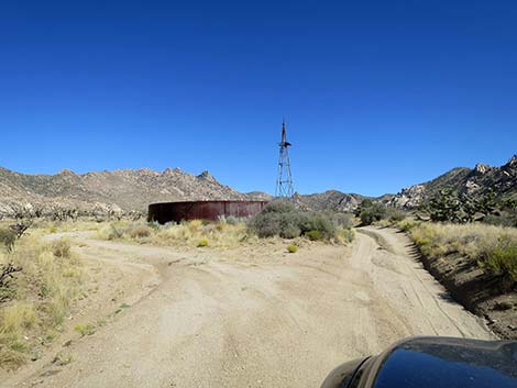
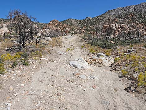
The Road From New York Mountain Road at Caruthers Canyon Road (Site 1260), Caruthers Canyon Road runs north towards the rocky mountains ahead. On Caruthers Canyon Road, all forks are passed by driving up the main canyon. Caruthers Canyon Road forks (0.6 miles out; Site 1261) at an old windmill with a large, rusted water tank. Both forks just go around the water tank and rejoin. A bit farther out, the road passes a small water tank, then forks again (1.0 miles out; Site 1459); the main road stays right. The left fork goes northwest to campsite at the base of the hills, but the road is marked with a No Trespassing sign. Caruthers Canyon Road stays right and passes a spot where trees on the right burned in the York Fire, but trees on the left did not. |
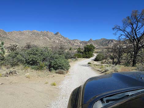
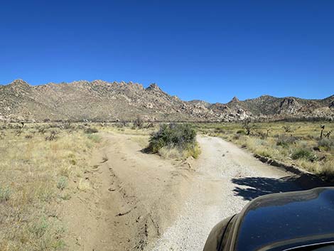
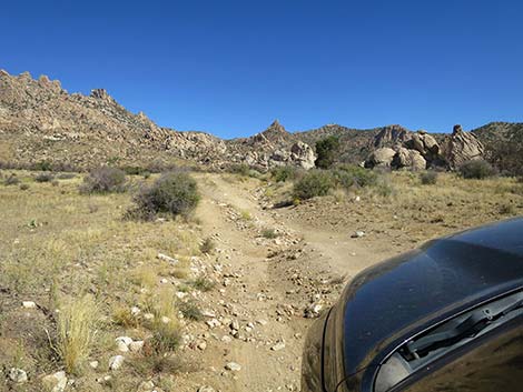
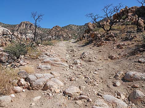
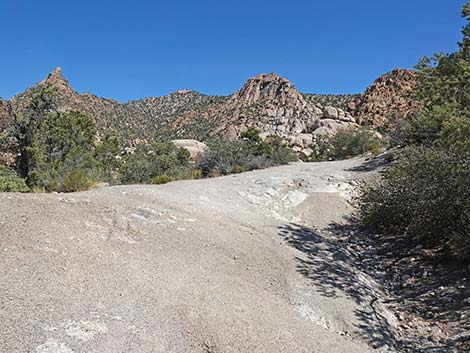
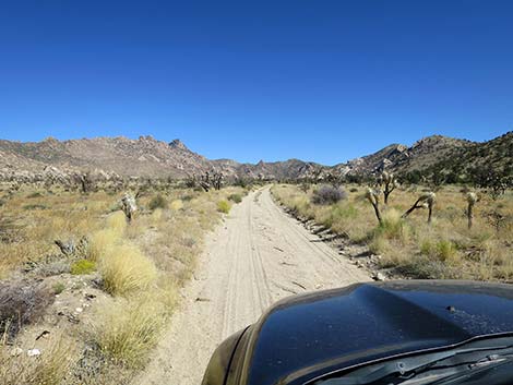 Caruthers Canyon Road (view N) |
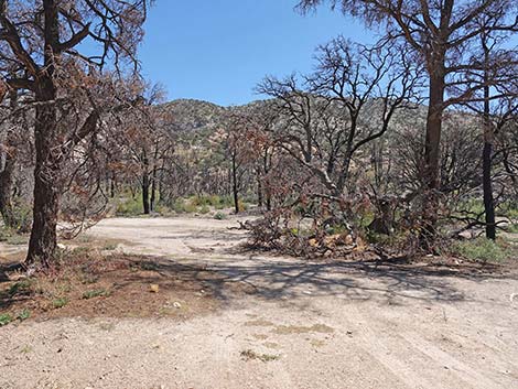
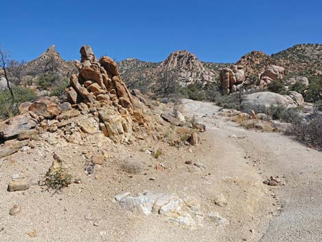
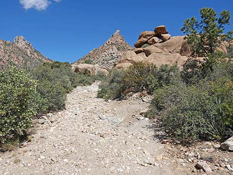
Shortly, Caruthers Canyon Road forks again (1.1 miles out; Site 1460). Here, the left fork runs northwest towards more campsites at the base of the hills, but the road is not marked with keep-out signs. The main road stays right. Shortly again, Caruthers Canyon Road forks again (1.2 miles out; Site 1461). Here, the left fork used to avoid a washout, but the road has been repaired. The main road stays right, and the forks rejoin at about 1.3 miles out. Caruthers Canyon Road bends a bit right an crosses another repaired washout on a graveled roadway. After that, the road begins to deteriorate, but remains passable in a carefully driven sedan. At about 1.6 miles out, Caruthers Canyon Road forks again (Site 1462). The side road left runs about 0.4 miles to a campsite. This probably is the last good place for drivers in sedans to stop and start hiking. |
 Approaching old water tank and windmill; take either road (view N) |
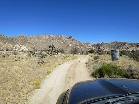
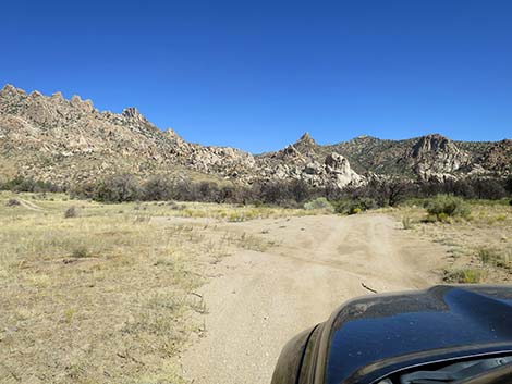
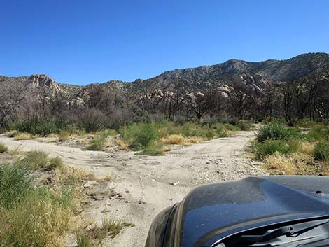
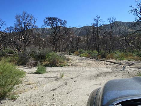
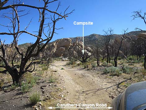
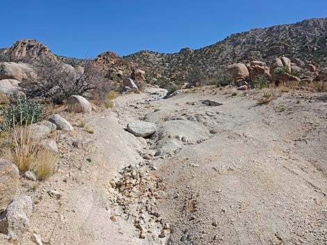
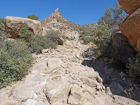
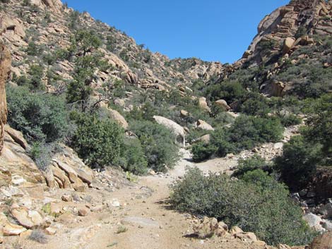
Continuing, Caruthers Canyon Road stays right and drops into Caruthers Canyon Wash. Initially, the gravel is firm and should be suitable for 2WD-HC vehicles, but climbing out the other side of the wash is sandy, and drivers without 4WD vehicles might want to walk the wash crossing first. The trees burned here, and they are leaning into the road. Just across Caruthers Canyon Wash, there are campsites on both sides of the road. These used to be nice, shady sites, but all of the trees burned in the fire. Caruthers Canyon Road continues to another fork (1.8 miles out; Site 1463). Here, the main road continues straight (left) up the canyon, while the right fork runs up to the Stone Table primitive campsite (Site 1466). |
 Caruthers Canyon Road approaching a small water tank (view N) |
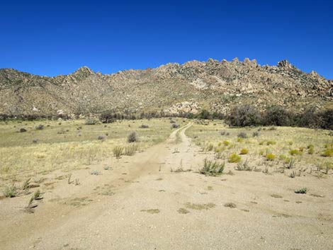
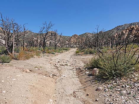
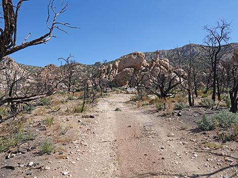
Continuing straight, the road quickly passes the last place to safely park a 2WD-HC vehicle. (1.9 miles out; Site 1464). The road deteriorates rapidly, becoming more and more rocky and washed out. Eventually the road becomes so rocky that none but rock-hopper jeeps would continue (Site 1465). The road, such as it is, continues to a landslide (Site 1466) where it appears that turning around wouldn't even be fun in a rock-hopper jeep. |
 Caruthers Canyon Road forks; stay right (view N) |
 Side road to the right (view NW) |
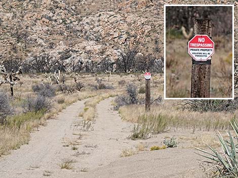 No trespassing sign on a post in the distance (view NW) |
 Caruthers Canyon Road continues to the right (view N) |
 Washed out road has been repaired and graveled (view N) |
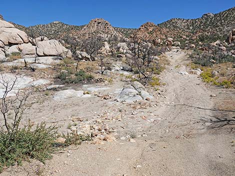
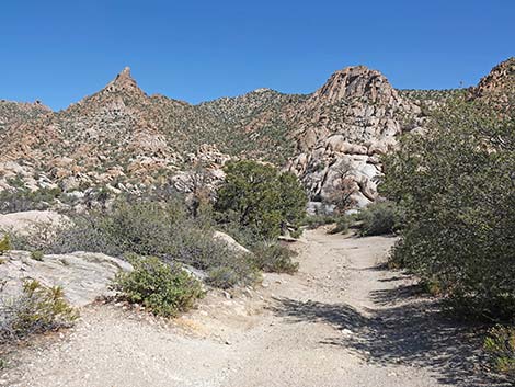
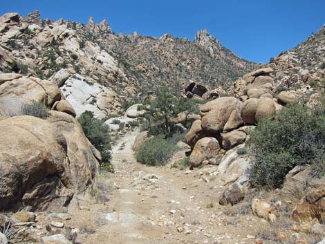
 Caruthers Canyon Road (view N) |
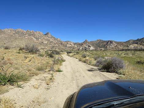 Caruthers Canyon Road (view N) |
 Caruthers Canyon Road (view N) |
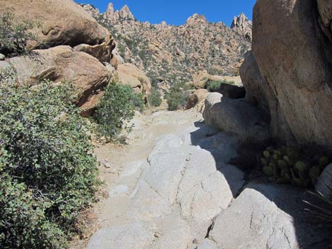
 Another wash-out has been repaired and graveled (view N) |
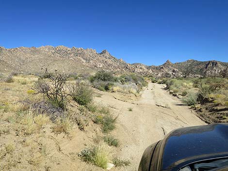
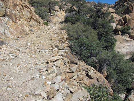
 Road conditions deteriorate (view N) |
 Caruthers Canyon Road approaching another side road (view N) |
 Side road to campsite (view NW from Caruthers Canyon Road) |
 Caruthers Canyon Road continues into Caruthers Wash (view N) |
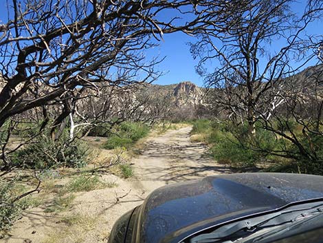 Burnt trees falling over the road (view NE) |
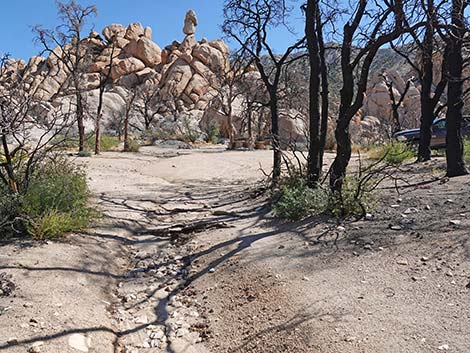
 Caruthers Canyon Road entering Caruthers Wash (view N) |
 Caruthers Canyon Road exiting Caruthers Wash (view N) |
 Caruthers Canyon Rd approaching campsites on the right (view NW) |
 Campsites (view NE from Caruthers Canyon Road) |
 Campsites (view E from Caruthers Canyon Road) |
 Caruthers Canyon Rd at campsite on the left (view NW) |
 Caruthers Canyon Road continues (view N) |
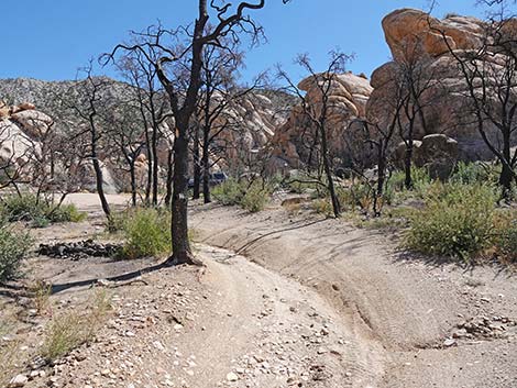
 Caruthers Canyon Road approaching fork to campsite (view N) |
 Campsite Road departing Caruthers Canyon Road (view NE) |
 Campsite Road continues towards the rock piles (view NE) |
 Campsite Road continues towards the rock piles (view E) |
 A bit of a washout on the curve (view E) |
 Narrow passage between burned trees (view E) |
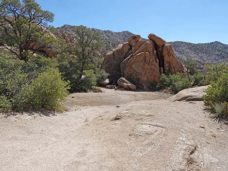
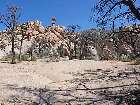 Entering the Stone Table Campsite parking area (view NE) |
 Stone Table Campsite (view NE) |
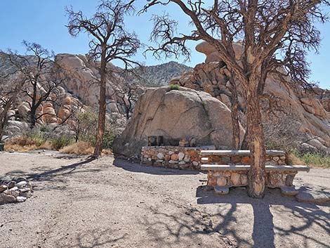 Stone Table Campsite (view NE) |
 Caruthers Canyon Rd continues past the campsite turnoff (view N) |
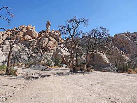
 Caruthers Canyon Rd at a parking area (view N) |
 Parking area (view NE from Caruthers Canyon Rd) |
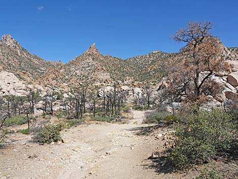
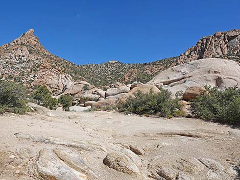
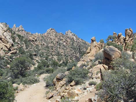
 Grand scenery (view E from Caruthers Canyon Rd) |
 Caruthers Canyon Rd continues (view N) |
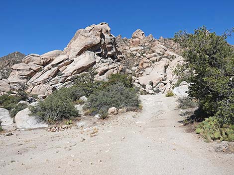
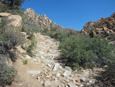
 Caruthers Canyon Rd at first of many rocky spots (view N) |
 Caruthers Canyon Rd continues (view N) |
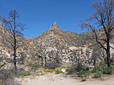
 Grand scenery (view NE from Caruthers Canyon Rd) |
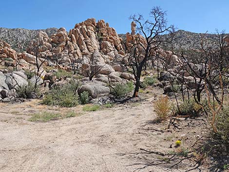
 Caruthers Canyon Rd starting into another rocky area (view N) |
 Caruthers Canyon Rd at another rocky area (view N) |
 Caruthers Canyon Rd at another rocky area (view N) |
 Caruthers Canyon Rd at another rocky area (view N) |
 Grand scenery (view NE from Caruthers Canyon Rd) |
 Caruthers Canyon Rd at a steep sideslope (view N) |
 Caruthers Canyon Rd improves a bit (view N) |
 Caruthers Canyon Rd improves a bit (view N) |
 Caruthers Canyon Rd entering another burned area (view N) |
 Caruthers Canyon Rd with some green trees (view NW) |
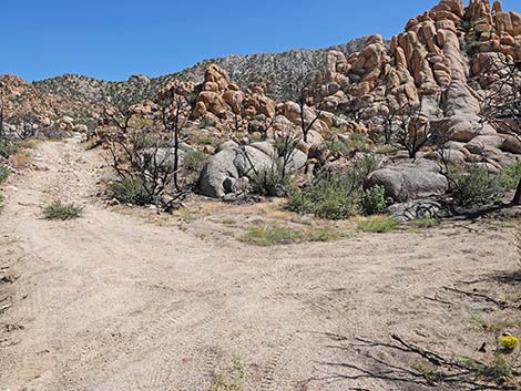
 Caruthers Canyon Rd at another rocky area (view N) |
 Caruthers Canyon Rd approaching a side wash (view N) |
 Caruthers Canyon Rd dropping into a side wash (view N) |
 Gaia App says to turn up this wash to mine -- don't do it (view NE) |
 Don't follow Gaia App: main road does not go up this wash (view NE) |
 Caruthers Canyon Rd continues up the main canyon (view N) |
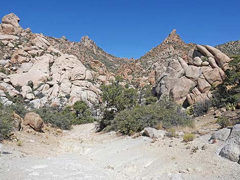
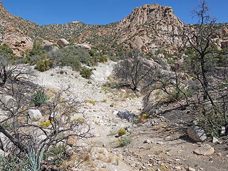
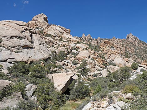 Grand scenery (view NW from Caruthers Canyon Rd) |
 Caruthers Canyon Rd with lots of small rocks (view N) |
 Caruthers Canyon Rd at a rough patch (view N) |
 Caruthers Canyon Rd at another campsite on the right (view N) |
 Campsite on the right (view SE from Caruthers Canyon Rd) |
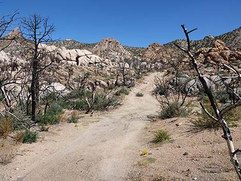
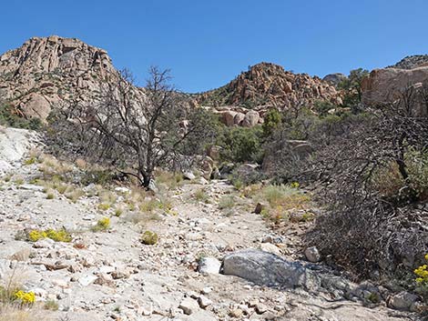
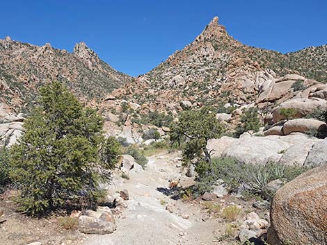 Caruthers Canyon Rd continues up the main canyon (view N) |
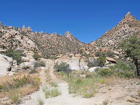 Caruthers Canyon Rd (view N) |
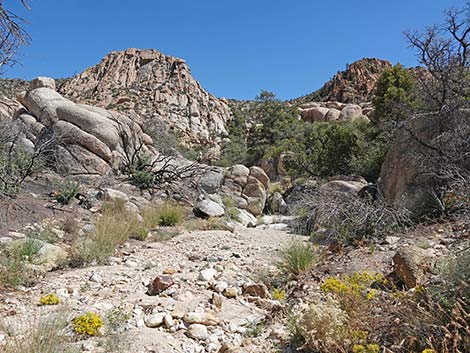
 Caruthers Canyon Rd (view N) |
 Caruthers Canyon Rd at a rough patch (view N) |
 Caruthers Canyon Rd (view N) |
 Caruthers Canyon Rd at a rough patch (view N) |
 Caruthers Canyon Rd at hand-made road (view N) |
 Caruthers Canyon Rd (view N) |
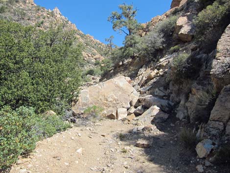 Caruthers Canyon Rd at landslide (view N) |
Table 1. Highway Coordinates Based on GPS Data (NAD27; UTM Zone 11S). Download Highway GPS Waypoints (*.gpx) file.
| Wpt. | Location | Latitude (N) | Longitude (W) | Elevation (ft) | Point-to-Point Distance (mi) | Cumulative Distance (mi) |
|---|---|---|---|---|---|---|
| 1260 | NY Mts Rd at Caruthers Rd | 35.21737 | 115.29692 | 5,397 | 0.00 | 0.00 |
| 1261 | Caruthers Cyn Rd at Windmill | 35.22527 | 115.29947 | 5,510 | 0.59 | 0.59 |
| 1459 | Caruthers Cyn Rd @ Fork | 35.23148 | 115.30047 | 5,512 | 0.43 | 1.02 |
| 1460 | Caruthers Cyn Rd @ Fork | 35.23279 | 115.30048 | 5,525 | 0.09 | 1.11 |
| 1462 | Caruthers Cyn Rd @ Fork | 35.23958 | 115.30021 | 5,576 | 0.48 | 1.59 |
| 1262 | Caruthers Cyn Rd @ 2WD parking | 35.24134 | 115.29873 | 5,623 | 0.16 | 1.75 |
| 1463 | Caruthers Cyn Rd @ Fork | 35.24220 | 115.29825 | 5,585 | 0.06 | 1.81 |
| 1466 | Stone Table Campsite | 35.24231 | 115.29716 | 5,615 | . | . |
| 1464 | Caruthers Cyn Rd @ 2WD Parking | 35.24271 | 115.29777 | 5,685 | 0.05 | 1.86 |
| 1465 | Caruthers Cyn Rd @ 4WD Parking | 35.24683 | 115.29692 | 5,740 | 0.34 | 2.20 |
| 1468 | Caruthers Cyn Rd @ Landslide | 35.25174 | 115.30034 | 5,961 | 0.43 | 2.63 |
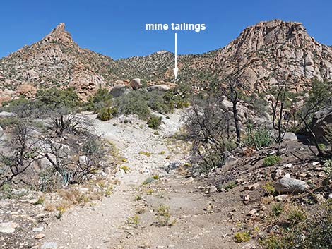
| 1263 | Giant Ledge Mine Site | 35.25503 | 115.29932 | 6,069 | 0.25 | 2.88 |
Happy Hiking! All distances, elevations, and other facts are approximate.
![]() ; Last updated 241008
; Last updated 241008
| Backroads | Hiking Around Mojave Preserve | Hiking Around Las Vegas | Glossary | Copyright, Conditions, Disclaimer | Home |