Hiking Around Las Vegas, Mojave National Preserve
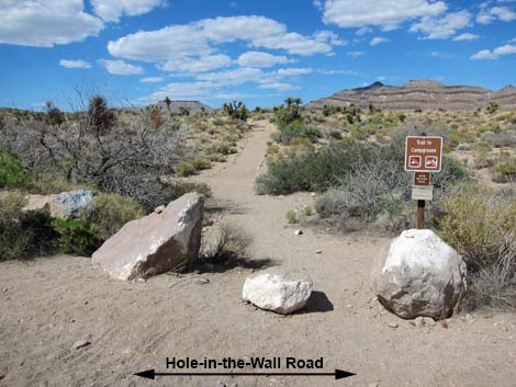
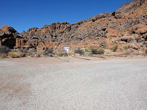
 Black Canyon Road at Hole-in-the-Wall Road (view S) |
Overview Hole-in-the-Wall (HITW) Road is a short spur road that runs west from Black Canyon Road to the Hole-in-the-Wall Visitor Center and Picnic Area. The road is graded dirt, but usually is well maintained. This road provides access to several hikes (including the Rings Trail) the visitor center, and a picnic area. Water is available for travelers at both sites. Link to map. |
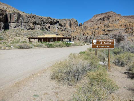
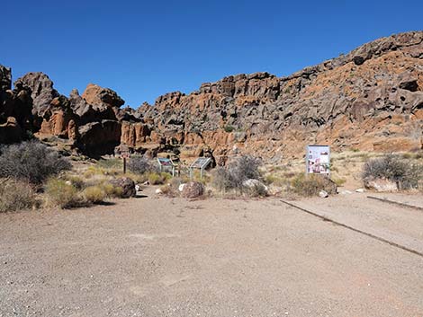
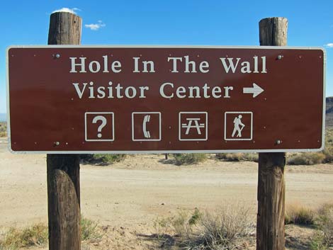 Hole-in-the-Wall Visitor Center sign (view S) |
Watch Out Other than the standard warnings about being in the desert, ... the road generally is well maintained and passable in sedans, but the road is subject to washouts. While out in the desert, please respect the land and the other people out there, and try to Leave No Trace of your passage. Also, the area is remote, so be sure to bring the 10 Essentials. |
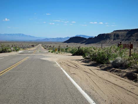
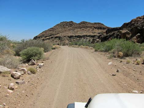
 Hole-in-the-Wall Road (view W from Black Canyon Road) |
Getting to the Road This road is located in Mojave National Preserve, about 2 hours south of Las Vegas. From town, drive south on I-15 into California to Nipton Road (Table 1, Site 1008). Turn left onto Nipton Road and drive east 3.6 miles. Turn right onto Ivanpah Road (Site 1264) and drive south 3.2 miles. Turn right onto Morningstar Mine Road (Site 1265) and drive southwest 15 miles to Cima (Site 0832), where the road crosses railroad tracks and continues as the Kelso-Cima Road. Continue 4.6 miles on Kelso-Cima Road. Turn left onto Cedar Canyon Road (Site 0832) and drive east 6.0 miles. Turn right onto Black Canyon Road (Site 0833) and drive south 9.5 miles to Hole-in-the-Wall Road (Site 0836), on the right. From the south, exit I-40 onto Essex Road (Site 1474). Drive north 9.9 miles. Turn right onto Black Canyon Road (Site 0845) and drive north 9.7 miles to Hole-in-the-Wall Road (Site 0836), on the left. |
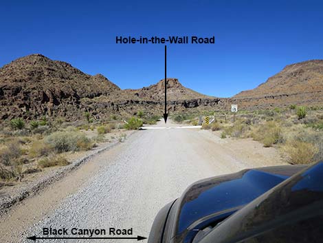
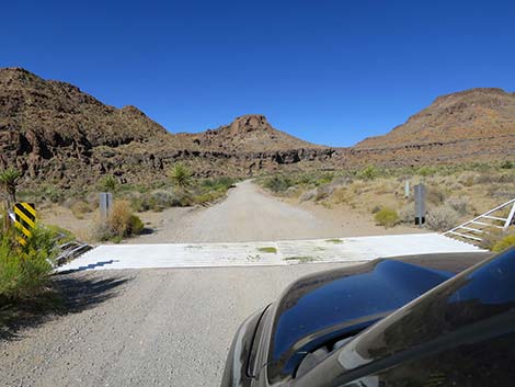 Hole-in-the-Wall Road at cattle guard (view W) |
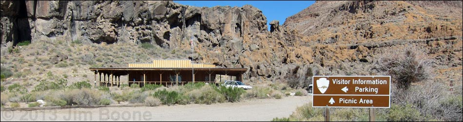
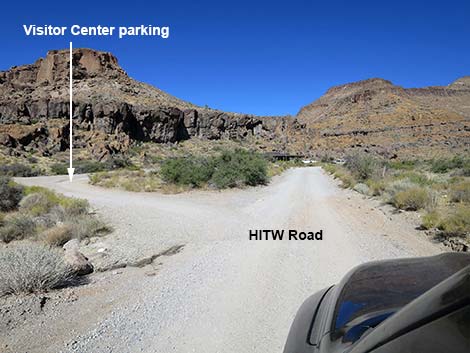
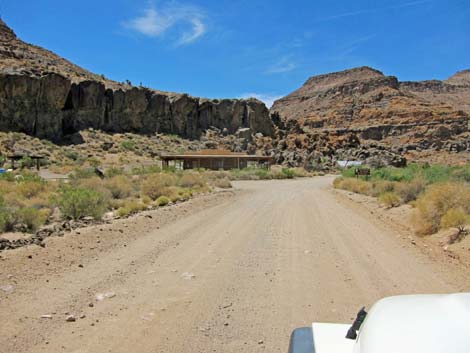
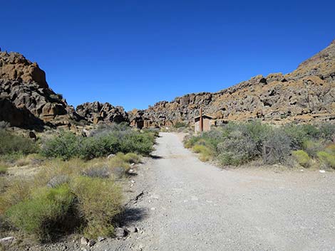
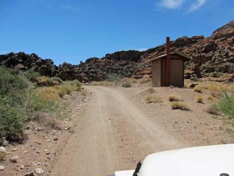
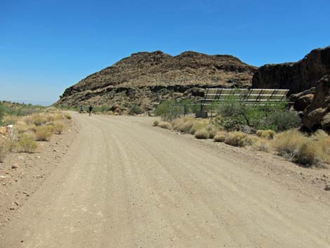
The Road On Black Canyon Road (Site 0833), Hole-in-the-Wall Road forms a T-intersection to the west. Hole-in-the-Wall Road crosses a cattle guard and continues west about 1/4-miles to Hole-in-the-Wall Visitor Center. The parking lot on the left is the first trailhead for the Rings Loop Trail and also for the Banshee Peak Route. Opposite the Visitor Center, the Hole-in-the-Wall Nature Trail leads north into the Hole-in-the-Wall Campground; plant species are identified along the trail. The visitor center hours depend on the season and availability of personnel, but it mostly is open during cooler seasons. Beyond the Visitor Center, a large bank of solar panels is tucked behind rocks on the left. These panels provide power to the Visitor Center and have mostly eliminated the need for a noisy diesel generator. |
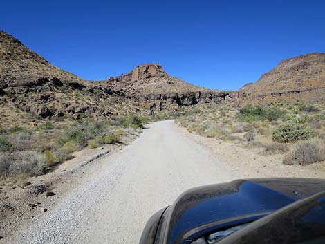 Hole-in-the-Wall Road (view W) |
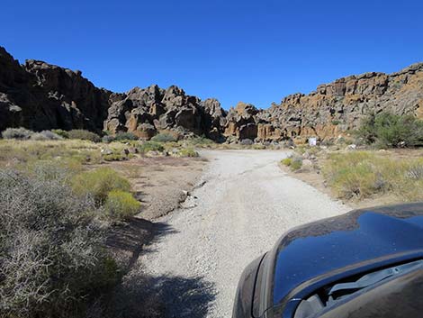
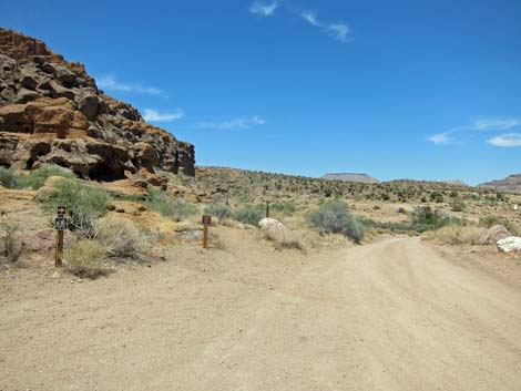
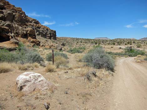
Continuing around the corner to the left, the road splits three ways. The fork to the left leads to Banshee Canyon and second trailhead for the Rings Trail, plus the Barber Peak Loop Trail, the Hole-in-the-Wall to Mid Hills Trail, and several other interesting hikes. For sightseers, at the Rings Trailhead, there is an overlook with a view into Banshee Canyon on the left (not accessible). From the 3-way fork, the right fork leads into the Hole-in-the-Wall Picnic Area where several tables provide grand views, but without shade they are better suited for winter use. There is an outhouse that is open 24 hours. From the 3-way fork, the trailhead road curves right and the picnic area road curves left, such that both merge and return on the center road of the three forks. |
 HITW Road approaching Visitor Center parking lot (view W) |
 HITW Road at first turn-in to Visitor Center parking (view W) |
 HITW Road approaching second turn-in to Visitor Center parking |
 HITW Road approaching Visitor Center |
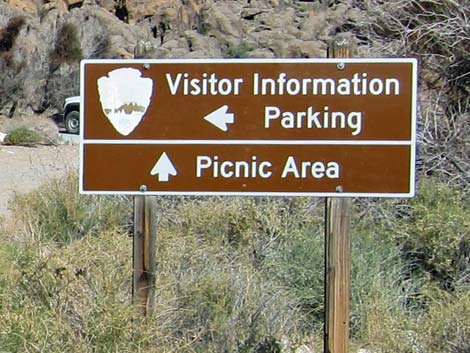 Directional sign (view W) |
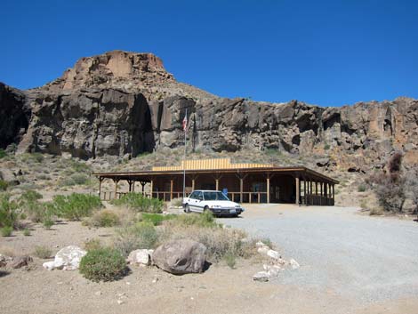 Hole-in-the-Wall Visitor Center (view S W from HITW Road) |
 Start of Hole-in-the-Wall Nature Trail (view N from HITW Road) |
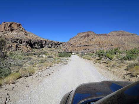
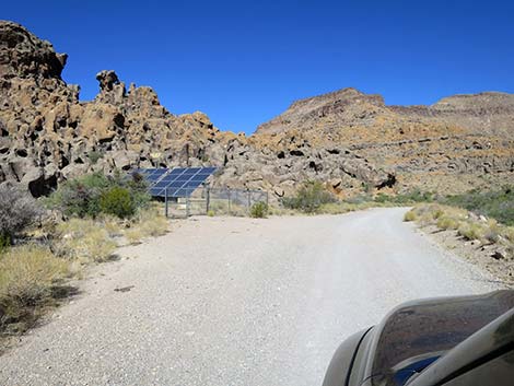 HITW Road approaching solar panels (view W) |
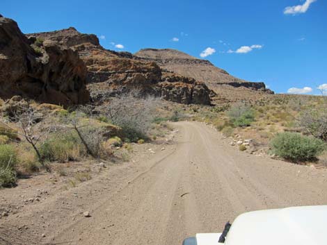 HITW Road (view W) |
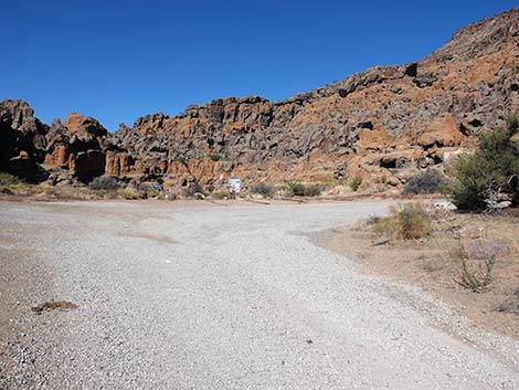
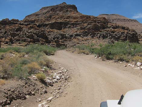 HITW Road approaching 3-way fork (view NW) |
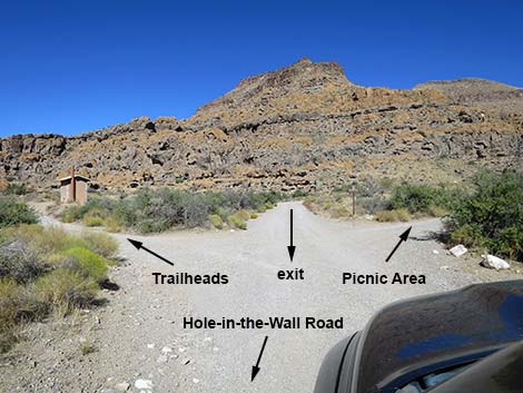 Trailheads left; picnic area right; return center (view NW) |
 Staying left on HITW Road towards trailheads (view W) |
 Staying left, HITW Road passes outhouse (view W) |
 HITW Road approaching trailhead parking (view W) |
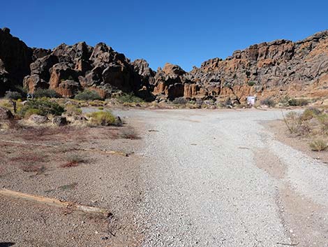 HITW Road entering trailhead parking (view W) |
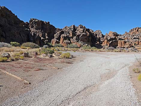 Trailhead parking (view W) |
 Trailhead parking (view W) |
 Trailhead parking (view W) |
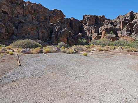
 Rings Trailhead Parking |
 Rings Trailhead (view W) |
 HITW Road bends right to pass Barber Peak Loop Trailhead |
 HITW Road passing Barber Peak Loop Trail |
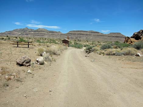
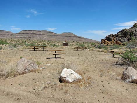 HITW Road passing Picnic area |
 More to come ... |
Returning Towards the Visitor Center
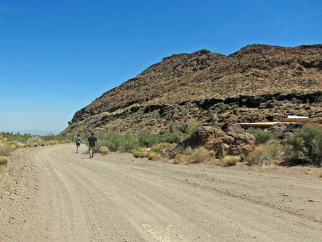
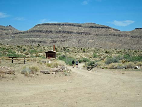 Hikers on HITW Road returning towards Visitor Center (view E) |
 HITW Road returning towards Visitor Center (view E) |
 HITW Road returning towards Visitor Center (view SE) |
 HITW Road approaching the solar panels (view SE) |
 Hikers on HITW Road returning to Visitor Center (view SE) |
More to come ... |
Table 1. Highway Coordinates Based on GPS Data (NAD27; UTM Zone 11S). Download Highway GPS Waypoints (*.gpx) file.
| Site | Location | UTM Easting | UTM Northing | Latitude (N) | Longitude (W) | Elevation (ft) | Verified |
|---|---|---|---|---|---|---|---|
| 0502 | Hole-in-the-Wall Visitor Center | 646403 | 3878704 | 35.04221 | 115.39490 | 4,260 | Yes |
| 0836 | Black Cyn Rd at Hole-Wall Rd | 646860 | 3878671 | 35.04184 | 115.38989 | 4,213 | Yes |
| 0846 | HITW Rd at Rings Trailhead | 646180 | 3878900 | 35.04401 | 115.39731 | 4,252 | Yes |
Happy Hiking! All distances, elevations, and other facts are approximate.
![]() ; Last updated 241012
; Last updated 241012
| Backroads | Hiking Around Mojave Preserve | Hiking Around Las Vegas | Glossary | Copyright, Conditions, Disclaimer | Home |